01What the edge is
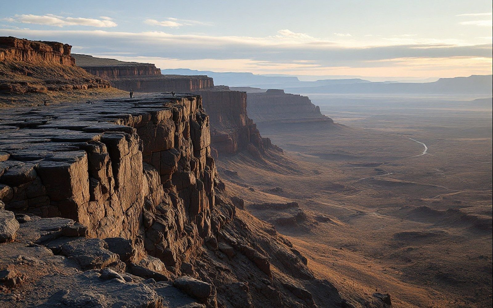
The West Mesa of Albuquerque sits at roughly 35°06′N, 106°44′W, a broad basalt platform stepping abruptly down toward the Rio Grande valley on its eastern side. That step — the escarpment — is not a fault scarp. It is an erosional edge: the place where the river's ancient floodplain cut back into the hard surface of the lava flows, leaving a fractured cliff face and a rubble of fallen blocks along its base.
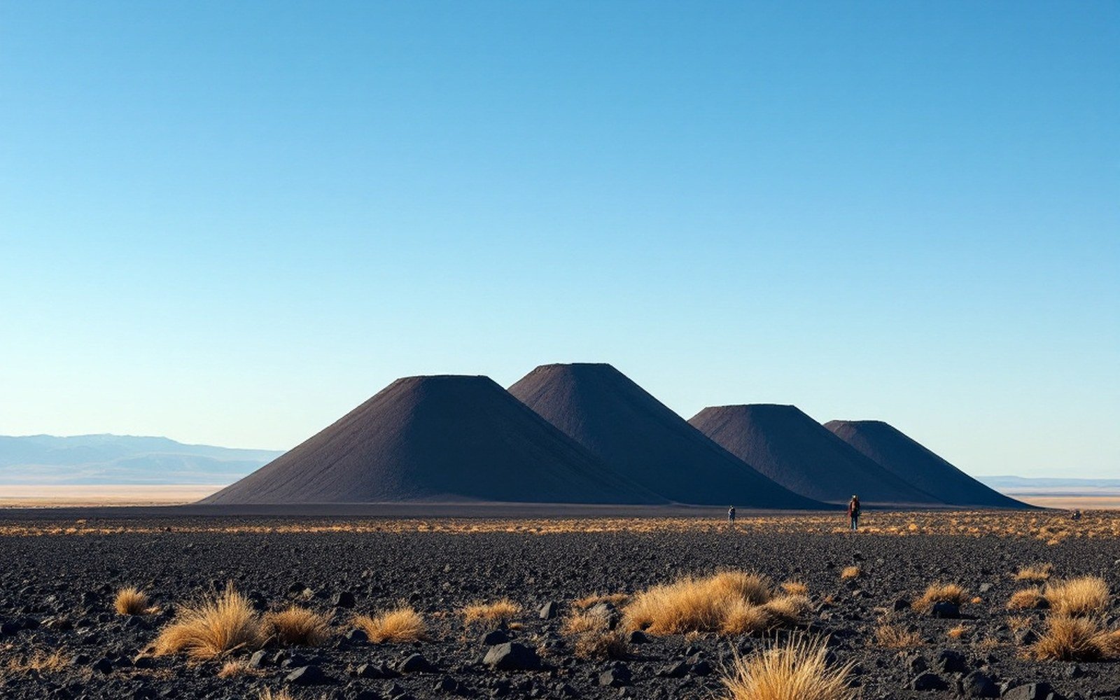
The flows themselves came from a line of small basaltic cones along the mesa's western edge, fed by fissures aligned with the underlying rift structure. The eruptions were not violent; they were effusive outpourings that spread thinly across the basin's sandy fill and cooled into a dense, dark cap. The youngest of these flows are around 150,000 years old, the oldest closer to 200,000 years. Once the lava stopped moving, erosion started doing the slower work.
As the Rio Grande cut downward and the valley widened, the eastern margin of the basalt cap was undercut. Blocks calved off, tumbled, and came to rest on the rocky debris slope below the cliff. That process has been running ever since. The escarpment is not a stable feature; it retreats slowly westward as more blocks split from the face.
02Why the boulders carry images
The fallen and in-place basalt blocks are coated, on their exposed surfaces, in desert varnish — a dark manganese- and iron-rich film deposited by microorganisms and wind-blown dust over thousands of years. It accumulates on stable, sun-facing rock surfaces, and it is exactly dark enough against the pale basalt interior to make pecked images visible at a distance. The people who made those images — ancestors of today's Pueblo communities — worked by removing the varnish layer to expose the lighter rock beneath.
The escarpment provided what artists elsewhere had to seek out: a long, continuous face of suitably varnished rock, broken into panels by fracture lines, at a height accessible from the valley floor. The geometry of erosion made the gallery. Petroglyph National Monument now protects roughly 27 kilometres (17 miles) of that escarpment and the approximately 24,000 images recorded along it — one of the largest such concentrations in North America, according to the National Park Service.
The ages of the images span roughly 3,000 years, from late prehistoric through the early Spanish colonial period. The varnish continues to form over some of them; others have been damaged by weathering or by the retreat of the cliff itself, which occasionally sends a panel face-down into the talus. The images belong to living Pueblo communities, and the geological process that formed the canvas is still, slowly, destroying it.
As the Rio Grande cut downward and the valley widened, the eastern margin of the basalt cap was undercut.
03Reading the erosion
The escarpment's profile tells a readable story. The upper surface of the mesa is nearly flat — the original top of the lava flow, barely modified — while the cliff face below it is rough with columnar jointing and irregular fractures, the pattern left as the lava contracted on cooling. Where the cliff has retreated furthest, the base of the flow meets the underlying basin fill: pale, unconsolidated sand and gravel that erodes far more easily than the basalt above. That contrast in resistance keeps the edge steep. Take away the hard cap and the soft fill beneath it would grade gently to the river; the caprock holds the shape of the escarpment, which holds the boulders in place, which holds the varnish, which holds the images.
The New Mexico Bureau of Geology and Mineral Resources has mapped the individual flow units across the mesa, distinguishing them by chemistry and age, and those maps show clearly how thin the lava layer actually is — rarely more than a few metres — against the kilometres of sediment beneath it.