01How the Measurement Works
The crust in the Albuquerque Basin is moving. The west side of the basin is pulling away from the east side as the rift continues to extend — but at a rate measured in millimetres per year, too slow for any human to feel and far too slow to see. For most of geological history that rate was simply inferred: from fault offsets read in the rock, from the thickness of basin fill accumulating in the graben, from the geometry of tilted fault blocks like the Sandia Mountains. Those methods gave an order of magnitude; they did not give a number you could use to plan an earthquake-hazard assessment.
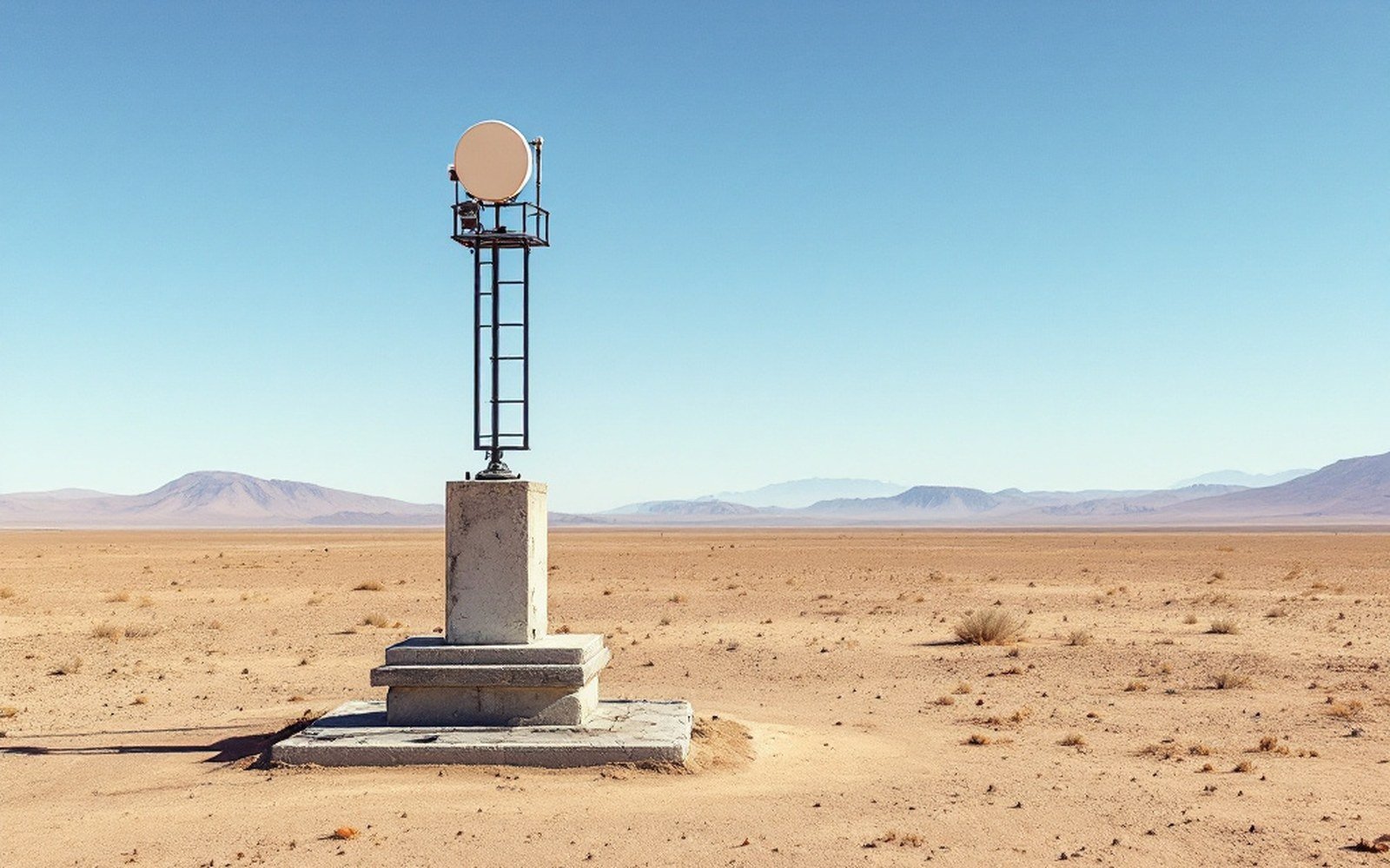
Continuous GPS changed that. Across the rift, networks of receivers — many of them maintained through UNAVCO, the geodetic infrastructure consortium — log their position to centimetre precision every second, every day, year after year. The long time series is what matters: drift accumulates until it rises above noise, and a station running for a decade reveals motion that a single survey cannot detect. The Albuquerque Basin shows roughly one to two millimetres per year of east-west extension when stations on the Colorado Plateau side are compared against stations on the Great Plains margin — a figure consistent with geologic estimates but now independently confirmed by direct measurement.
The Socorro area, sitting over a large mid-crustal magma body, adds a local signal to the regional one: ground above that intrusion has shown measurable uplift, detectable only because the geodetic baseline exists against which to read it. Researchers at the United States Geological Survey and other institutions draw on this positional data; the USGS National Strong Motion Program uses ground-motion records to cross-check what the displacement history implies about strain accumulation on individual faults.
What geodesy cannot do is resolve which fault is accumulating strain, or when it might release it. The surface signal is the sum of many faults moving silently beneath sediment. The measurement confirms the rift is live; separating its parts is still the work of seismic imaging and careful field geology — tools that geodesy supplements rather than replaces.