01A Block Tipped on Its Side
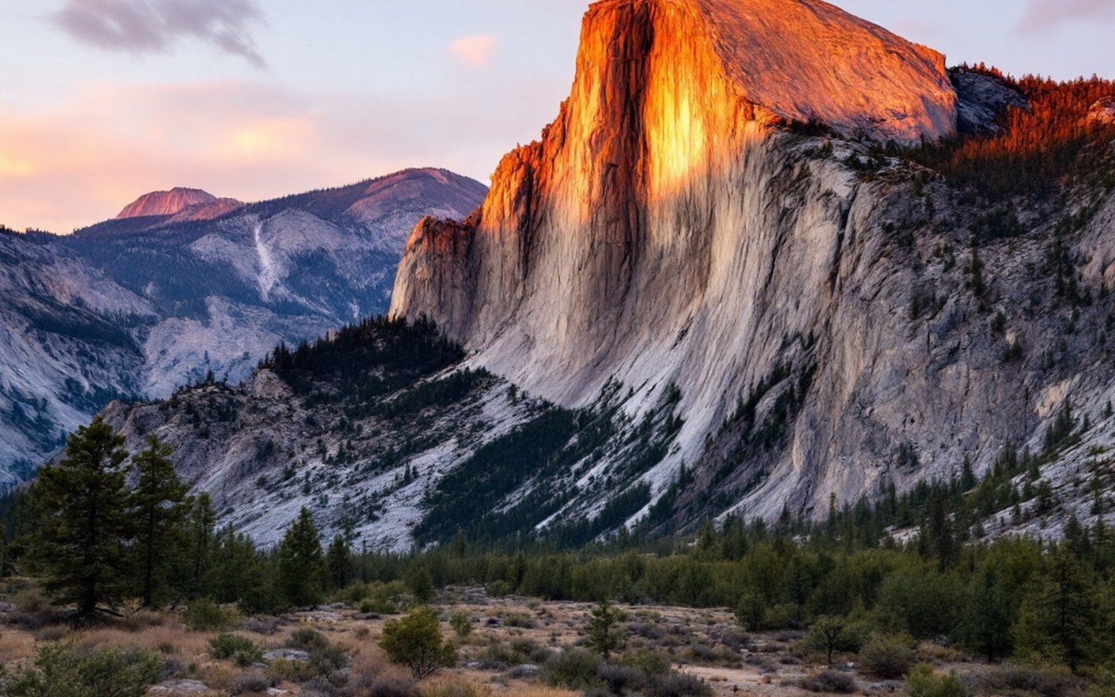
The Sandia Mountains rise from the eastern margin of the Albuquerque Basin at roughly 35.13°N, 106.44°W, climbing from the basin floor at around 1,500 metres to the summit of Sandia Crest at 3,255 metres — a relief of nearly 1,800 metres in horizontal distance of barely twelve kilometres. That steepness is not incidental. It is the direct expression of a fault, and the west face of the range is, in a geologically unambiguous sense, the exposed plane of the break.
The Rio Grande rift has been pulling the crust apart here since roughly 25 to 30 million years ago, and the Albuquerque Basin is one of its deepest and most sediment-laden sub-basins. Where a continental rift extends the crust, it does not thin uniformly. It breaks along normal faults — faults where one side drops relative to the other — and the blocks between those faults rotate. The Sandia block tilted eastward as the basin to its west dropped. The steep face tracks the Sandia fault, a range-bounding normal fault dipping beneath the basin, while the gentler east slope is the upper surface of the tilted block, mantled in younger sediment and forest. Walk east out of Albuquerque and you are walking up the footwall of a fault whose base lies buried under kilometres of basin fill.
02What the West Face Shows
The abruptness of the west escarpment makes it one of the most legible geological cross-sections in the American Southwest. Three rock types are stacked in plain sight, and each tells a different chapter of the same story.
The lowest and oldest is the granite. Sandia granite is a Proterozoic intrusion, crystallised at depth around 1.4 to 1.5 billion years ago — part of a widespread episode of magmatism that stitched together the nascent North American craton. It is coarse-grained and pink, rich in potassium feldspar, and it forms the bulk of the range's mass. This is not rock that was ever near the surface during its long Proterozoic life; it cooled kilometres underground. What brought it up was extension. As the basin dropped, the block to its east was unloaded and rose isostatically — a passive exhumation, the land rising not because anything pushed it up but because weight was removed from beside it.
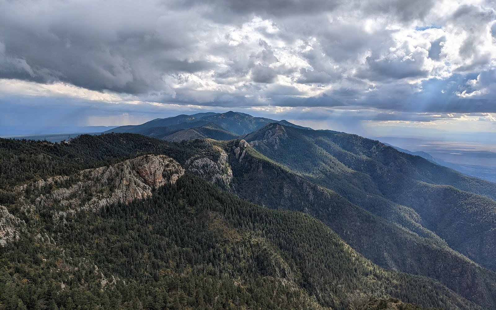
Lying directly on top of the granite, with no intervening Ordovician, Silurian or Devonian record at all, is Mississippian and Pennsylvanian limestone — the Arroyo Peñasco Group and, above it, the Madera Group — deposited in a shallow tropical sea roughly 300 to 340 million years ago. The gap between the 1.4-billion-year granite and the 340-million-year limestone is called the Great Unconformity. More than a billion years of Earth history is missing at that contact, which you can put your hand on at various points on the range. The USGS describes the unconformity and its regional extent as one of the defining features of the North American stratigraphic record. Above the limestone, younger Pennsylvanian and Permian formations cap the crest in places, though erosion has stripped much of this veneer from the highest ridges.
The sequence — Proterozoic granite, Great Unconformity, Paleozoic limestone — is repeated in other rift-margin ranges across New Mexico. What makes the Sandia exposure so arresting is that the tilting has exposed it in a steep cross-section. The west face presents a cross-section that would take a drill thousands of metres to sample if the block had not been tilted and raised.
03Fault, Scarp, and the Modern Landscape
The Sandia fault itself is not a surface feature you can walk up to and touch cleanly; like most range-bounding faults in the rift, it is buried under its own debris, the aprons of alluvial fans that spread from the mountain front across the basin. But its position and geometry are well-constrained. Investigations by the New Mexico Bureau of Geology and Mineral Resources have used well logs, seismic reflection profiles, and gravity surveys to show that the basin fill west of the mountains reaches depths of four to five kilometres — material eroded from the rising block and deposited in the subsiding basin over tens of millions of years. The fault that created this asymmetry dips at a moderate angle beneath that fill.
More than a billion years of Earth history is missing at that contact, which you can put your hand on at various points on the range.
Present-day motion on the fault is slow by the standards of active plate boundaries but measurable. Geodetic networks maintained by UNAVCO, incorporating GPS stations on the range and in the basin, detect millimetre-scale annual motion — the basin pulling away from the mountain block at rates consistent with the broader rift extension rate of roughly one to two millimetres per year across the full rift width. The seismic record, compiled by the Incorporated Research Institutions for Seismology and monitored regionally by the New Mexico Institute of Mining and Technology, shows that the Sandia fault is capable of producing significant earthquakes, though the recurrence interval on any single fault segment is long. The range is not simply a landscape feature; it is a structure under continuing stress.
04Age Written in the Colour
The mountains take their name from the Spanish word for watermelon — a reference to the pink and reddish hue the granite turns at sunset, when low-angled light catches the feldspar crystals across kilometres of west-facing wall. The colour is a property of the rock itself, not a coating: the potassium feldspar that dominates the granite matrix weathers to a characteristic salmon-pink, and in fresh exposures on the high crests it reads as nearly red.
Higher up, where the Paleozoic limestone takes over, the colour shifts to grey and buff. The limestone weathers differently from the granite — it dissolves along joints rather than granulating — and the crest-line above the timberline has a rougher, more angular character than the rounded granite below. Springs emerge where water percolating through limestone meets the impermeable granite beneath, and those springs have sustained human settlement on the mountain's flanks for thousands of years.

The east slope descends gradually through ponderosa pine, mixed conifer, and spruce-fir zones — a consequence of the block's tilt, which here preserves enough soil and moisture to support dense forest. The west face, in contrast, is largely bare rock and sparse scrub, its steepness and sun exposure stripping it of all but the hardiest vegetation. The landscape on each side of the crest looks, and feels, like a different country. The reason is a single fault plane buried under Albuquerque.