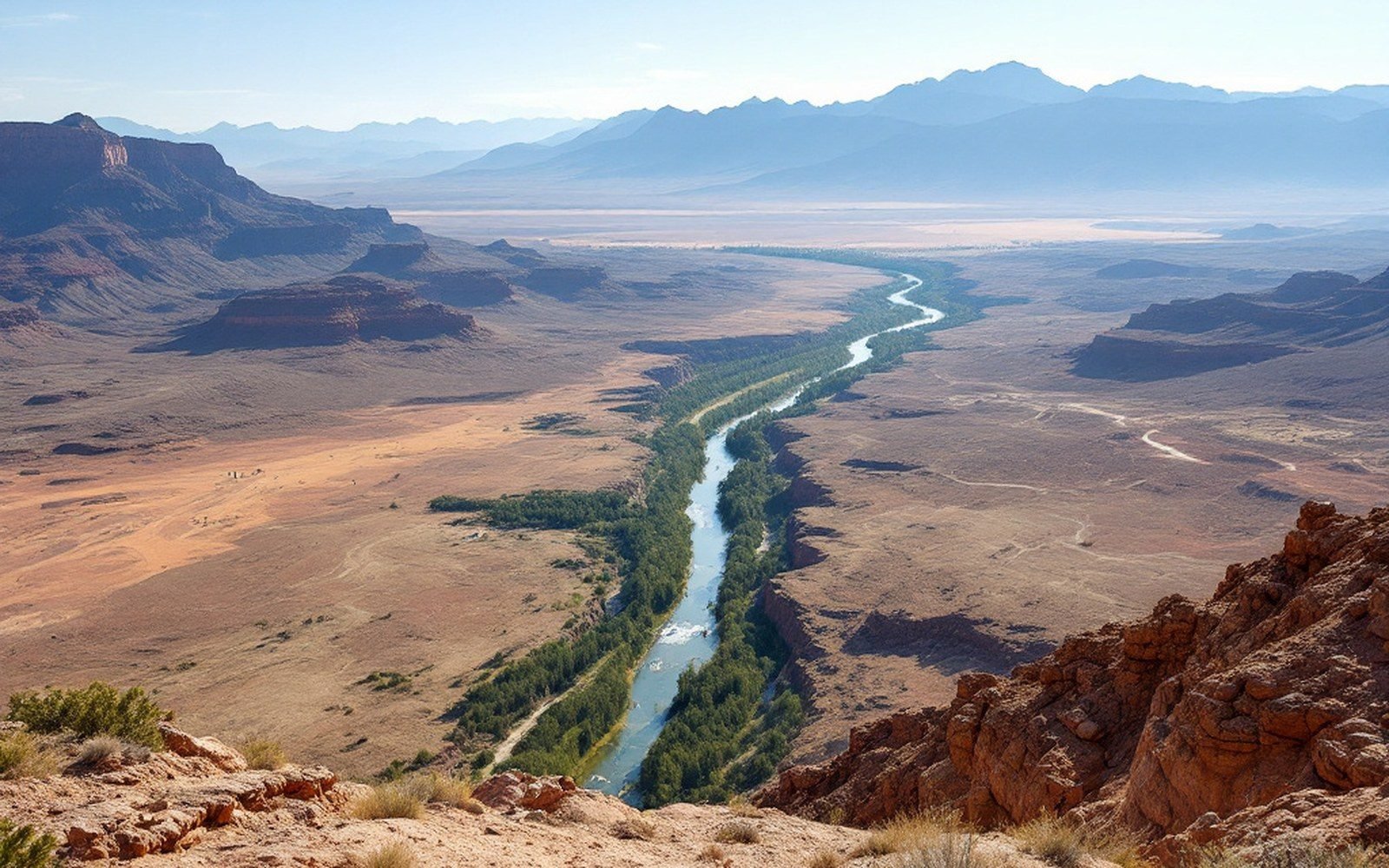
01A rift valley in the American Southwest
The Albuquerque Basin sits at roughly 35°N, 106.7°W, occupying the central reach of the Rio Grande rift — a zone where the North American continent is being pulled apart along a roughly north–south line stretching from southern Colorado into west Texas and northern Mexico. The basin runs approximately 100 kilometres from north to south and perhaps 50 kilometres east to west at its widest, but those surface dimensions tell only part of the story. Below the flat floor of the city, beneath the river and the irrigated valley, sediment fills a structural depression more than four kilometres deep in places. The basin is not simply a river valley that happens to run between mountains; it is a place where the crust has cracked, dropped, and continued dropping, while the flanking ranges have been shouldered upward by the same forces.
The comparison that puts this in perspective is not the Colorado Plateau to the west or the Great Plains to the east — it is East Africa. The Basin and Range Province, of which the Rio Grande rift is the most active segment, belongs to the same family of landforms as the East African Rift System: places where the lithosphere is extending, thinning, and beginning to separate. Continental rifts of this kind tend to be marked by chains of elongated basins bounded by steep normal faults, volcanic activity at or near the surface, elevated heat flow, and measurable ongoing motion. The Albuquerque Basin has all four. The Rio Grande rift is not a geological curiosity; it is an active feature in the same sense that a mid-ocean spreading centre is active, just slower and on land.
02Architecture of the basin
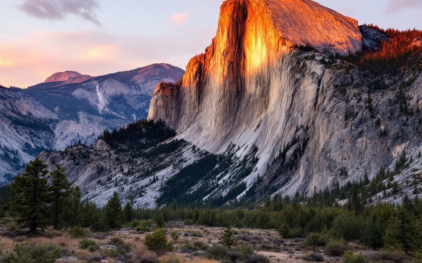
The mountains on either side of the basin are fault blocks — bodies of crust that have been rotated and uplifted along the same network of normal faults that let the basin floor descend. The Sandia Mountains rise abruptly along their west face, where the Sandia fault has displaced the block several kilometres vertically, exposing Precambrian granite at the core and a thin limestone cap at the crest. The Manzano Mountains continue the same structure to the south. To the west, the basin is bounded more gently, its edge marked by the West Mesa escarpment — the eroded front of basalt flows that poured from cones along a rift-parallel fissure system between roughly 110,000 and 150,000 years ago. Farther out, Ladron Peak stands as an isolated block of very old rock rising from the basin fill well south of the main range front, evidence that the faulting does not respect a single clean line.
Beneath the flat surface, the basin fill is an archive of the rift's history. Sediment eroded from the rising ranges — gravel, sand, silt, clay, occasional volcanic ash — has been accumulating here for millions of years, and the New Mexico Bureau of Geology and Mineral Resources has mapped these units in detail. The sedimentary sequence records cycles of deposition tied to climate as well as to tectonics: pluvial lake beds from wetter periods, coarse alluvial fans from episodes of rapid uplift, wind-blown sand from drier intervals. Interbedded with the sediment are volcanic layers — particularly tuffs from the Jemez Mountains to the north — that provide radiometric dateable marker horizons, letting geologists read the basin fill almost like a timeline.
03Fire from the margin
The Jemez Mountains occupy the rift's western margin north of the basin, and they represent the single most energetic volcanic system in this part of the continent. Two caldera-forming eruptions — at roughly 1.6 million years and 1.25 million years ago — produced the Bandelier Tuff, an ash-flow sheet that blanketed the surrounding landscape and still underlies the deeply incised canyons of Bandelier National Monument. The caldera that remains, Valles Caldera, is a roughly circular depression about 22 kilometres across, floored by resurgent domes and hydrothermal features. This is not ancient history in a geologic sense — the Valles system has erupted within the last 60,000 years, and the Socorro magma body, a large body of crystal-rich melt detected by seismology beneath Socorro to the south, indicates that the plumbing of the rift is still thermally active at depth.
The basalt field along the West Mesa tells a different story of the same heat source. At Petroglyph National Monument, the escarpment of dark basalt runs for roughly 27 kilometres along the western edge of the city at approximately 35.15°N, 106.75°W. The boulders that line this escarpment are not random; they fell from the flow front as the soft sediment beneath eroded away, concentrating them at the break in slope. Ancestral Pueblo peoples, whose descendants are the living Pueblo communities of New Mexico today, pecked tens of thousands of images into the dark desert varnish — the thin manganese-and-iron coating that develops on exposed rock surfaces over centuries — on these basalt faces. The images are real evidence that people have known this landscape intimately for a very long time, and they belong to those communities still. The geology placed the boulders; the people made the record.
The Albuquerque Basin, then, is a window into a process that most landscapes conceal.
04Motion, measured and ongoing
The rift is not merely a feature of the past. Continuous GPS stations operated through networks coordinated by UNAVCO — now part of EarthScope Consortium — measure the motion of the crust here in real time, and the data show the flanks of the Albuquerque Basin moving apart by a few millimetres per year. That rate sounds trivial until you multiply it across millions of years and arrive at the kilometres of offset already visible in the fault scarps and the depth of the basin fill. The USGS and the Incorporated Research Institutions for Seismology maintain seismograph networks that record the small earthquakes — most too small to feel — generated almost continuously by slip along rift faults. Occasionally larger events occur: the basin has produced damaging earthquakes in historic memory, and paleoseismic trenching across fault scarps has revealed evidence of much larger prehistoric ruptures.
Beneath Socorro, roughly 120 kilometres south of the city, a large mid-crustal magma body — detected through seismic imaging and geodetic uplift — is causing the ground surface above it to dome measurably upward. The Socorro magma body is one of the largest known magma sheets in the continental crust outside a supervolcano setting. Its presence helps explain the anomalously high heat flow throughout the rift zone and the volcanic activity at Cerros del Rio, where basalt flows north of the basin were cut through by the Rio Grande into a gorge that exposes the stratigraphy in cross-section.
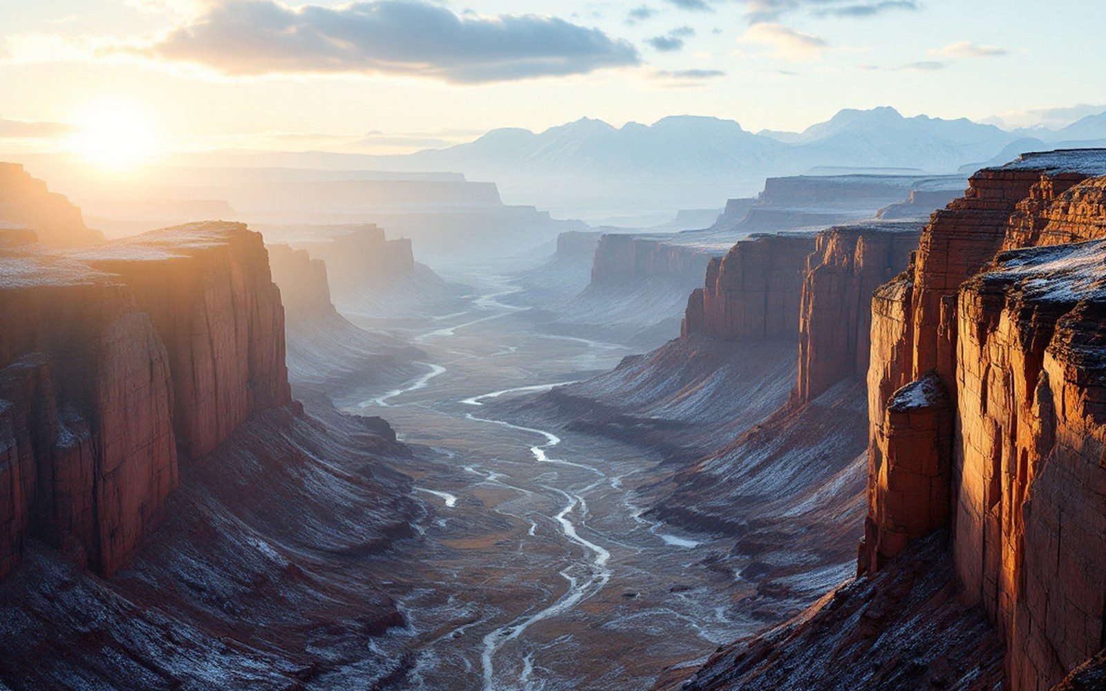
The Albuquerque Basin, then, is a window into a process that most landscapes conceal. Everywhere the surface is flat enough to build on, thousands of metres of sediment fill a hole that continues, slowly, to deepen. Everywhere the mountains front the basin in steep, fault-controlled escarpments, the same pulling-apart that made the depression raised the rock beside it. The USGS Albuquerque seismological laboratory and the New Mexico Institute of Mining and Technology have between them produced decades of instrumental and mapped evidence for a landscape still very much in the making. What looks like a quiet desert city sits on ground the continent has not finished with.