
01The agencies behind the maps
Two institutions have done more than any others to establish what lies beneath the Albuquerque Basin and the wider Rio Grande rift: the New Mexico Bureau of Geology and Mineral Resources, housed at New Mexico Tech in Socorro, and the United States Geological Survey, whose geologists have worked this ground since the territorial era. Their published maps are not illustrations — they are arguments, each contact line a judgment call backed by field observation, laboratory analysis and, increasingly, subsurface data from boreholes and seismic profiles.
The Bureau's mandate is statewide, but the rift concentrates a remarkable density of its output. Geologic quadrangle maps, open-file reports, bulletins and memoir volumes accumulate into something close to a complete stratigraphic record of the basin. The agency maintains a searchable publications database where most of this material is available for download — the same sheets that once cost weeks of correspondence can now be pulled in an afternoon. For anyone tracing the structure of the Sandia Mountains or the thickness of basin fill beneath the river valley, these are the primary texts.
The USGS contribution is older and broader in scope. The agency mapped New Mexico's rift segment as part of its mid-twentieth-century national program, and revisited key areas as dating methods improved and the significance of the Socorro magma body became clearer. Its geologic maps of the Albuquerque and Socorro areas remain foundational references. The USGS Publications Warehouse holds the full inventory, including the open-file reports that often contain more raw data than the polished finished maps.
02What the maps actually record
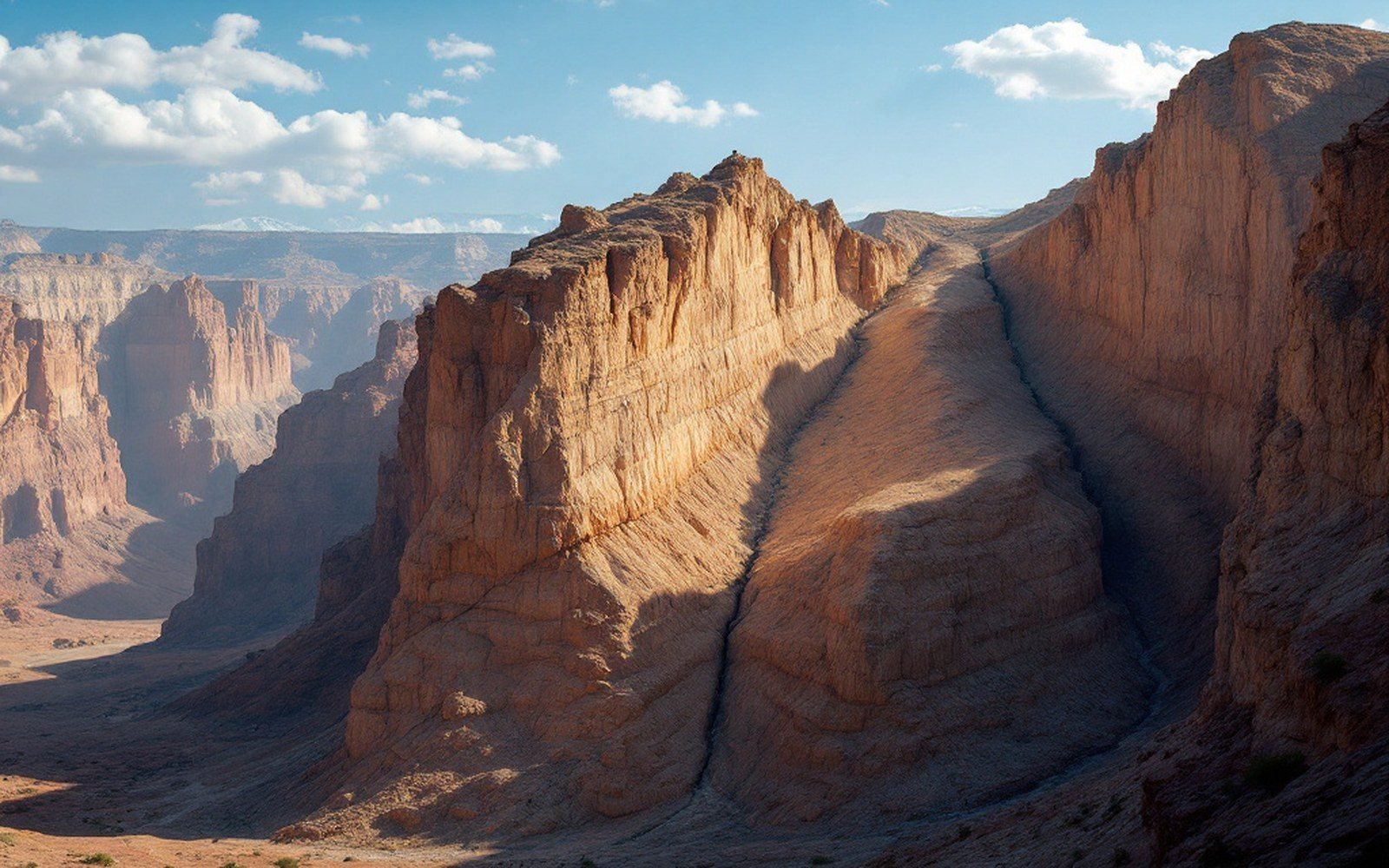
A printed geologic map does several things at once. The colored polygons show the distribution of rock units at the surface — Precambrian granite on the Sandia crest, Paleozoic limestone along the eastern flank, Quaternary basalt across the West Mesa, Bandelier Tuff filling the canyons north of the basin. The contacts between those units are the lines the mapper has drawn after walking the ground. The fault lines, often shown as heavier strokes with tick marks indicating the downthrown side, are interpretations of discontinuity — places where the rock record jumps and the mapper has inferred a break. In a rift system driven by extension, those faults are the primary story, and identifying them correctly is the whole point.
Beneath the surface, the picture gets harder. The sedimentary fill of the Albuquerque Basin — the Santa Fe Group, thousands of metres of sand, gravel and clay shed from the rising fault-block ranges — is almost entirely hidden. Gravity surveys, seismic reflection profiles run for petroleum exploration, and data from water-supply boreholes allow geologists to estimate where the basin floor lies and how the fill thickens toward the rift axis. The Bureau and the USGS have both published interpretations of this subsurface geometry, and they do not always agree on the details. That disagreement is not a failure; it is the current state of knowledge, and a later drillhole or a better seismic line will settle individual questions.
For anyone tracing the structure of the Sandia Mountains or the thickness of basin fill beneath the river valley, these are the primary texts.
Modern work has layered new tools over the paper maps. UNAVCO, the geodetic consortium, runs a network of GPS stations across the rift whose data resolve horizontal and vertical motion to millimetre precision year on year. The Incorporated Research Institutions for Seismology maintains the seismographic network whose records locate earthquakes and thereby illuminate fault geometry at depth — faults the surface mapper may have suspected but could not confirm from outcrop alone. These datasets feed back into revised interpretations, which eventually become revised maps.
The published sheet, whether on paper or screen, is always a snapshot: the best available interpretation at the moment of publication. The Bureau and the Survey understand this better than anyone. They keep revising, and the archive of superseded maps is itself a document of how understanding of this rift has deepened across more than a century of systematic work.