01What Came Out of the Jemez
Around 1.61 million years ago, and again around 1.25 million years ago, the Valles Caldera collapsed. Each collapse followed the rapid evacuation of a magma chamber beneath the Jemez Mountains, and each sent a pyroclastic flow — a fast-moving ground-hugging avalanche of superheated gas, ash and pumice — racing outward across the landscape. The deposits those flows left behind are collectively the Bandelier Tuff, named for the monument that sits inside one of its deepest exposures. Together, the two eruptive episodes produced several hundred cubic kilometres of material, enough to bury the country around the caldera under tuff tens to hundreds of metres thick. The older deposit is the Otowi Member; the younger is the Tshirege Member, and the distinction matters because the two are not identical in composition, thickness or behaviour as rock.
The magma that fed both eruptions was rhyolite — silica-rich, viscous, and volatile-charged. When it reached the surface, the dissolved gases expanded explosively, shredding the melt into glass shards, pumice fragments and fine ash. At sufficient eruption rate, the column could not be sustained and it collapsed, generating the flows that spread outward at high velocity. Where those flows came to rest, still hot enough to be semi-molten, the glass shards fused under their own weight and retained heat. That fusion process produces welded tuff: a rock that is hard, dense and resistant to erosion at its core, but grades outward and upward into unwelded material that is soft, friable and easily cut.
02A Landscape Made of One Rock
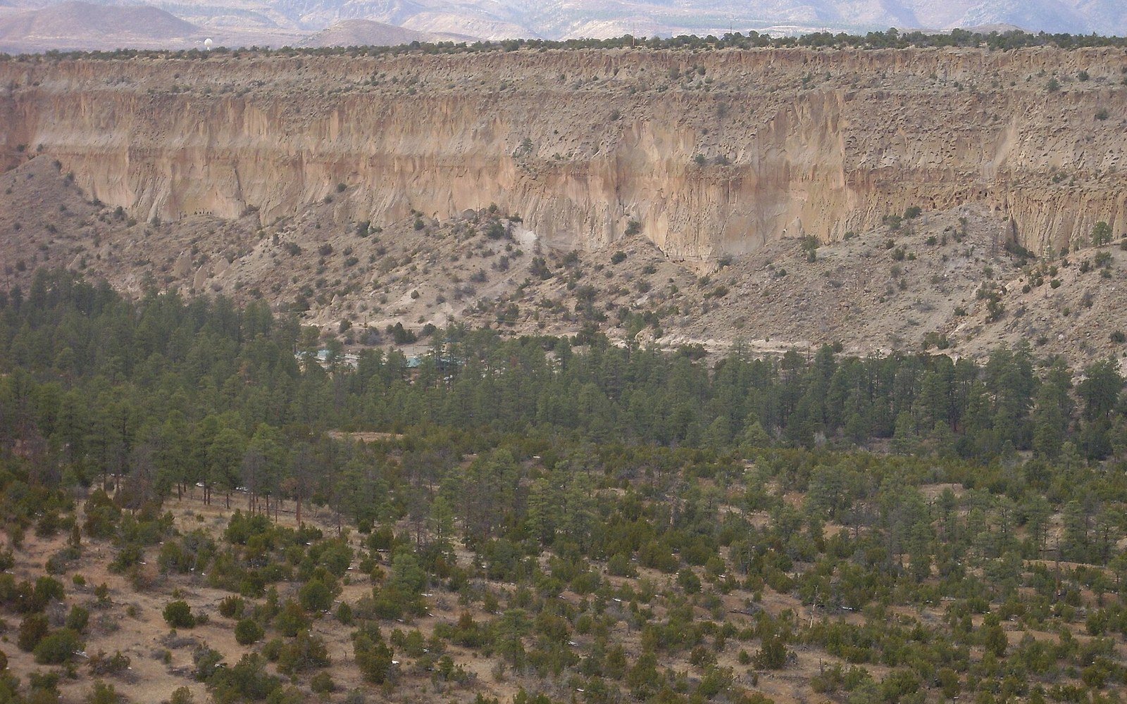
The reach of the Bandelier Tuff is best understood by looking north from Albuquerque. The tan and pink plateaus between the Rio Grande and the Jemez front are not simply hills; they are remnants of a tuff sheet that once covered far more ground. The Pajarito Plateau, which runs roughly between 35.7° N and 35.9° N along the western rift margin, is almost entirely Tshirege Member. Every mesa top, every canyon wall, every road cut through that country exposes the same pale layered rock: pumice-bearing, locally glassy, banded by the successive pulses of the flow. Bandelier National Monument sits at roughly 35.78° N, 106.27° W, and its famous cliff dwellings occupy cavates — hollowed rooms — carved directly into unwelded Tshirege by the people who lived there. The tuff is soft enough to excavate by hand with stone and wooden tools, but coherent enough to form stable walls. That property is not incidental to the archaeological record; it is what made the place inhabitable.
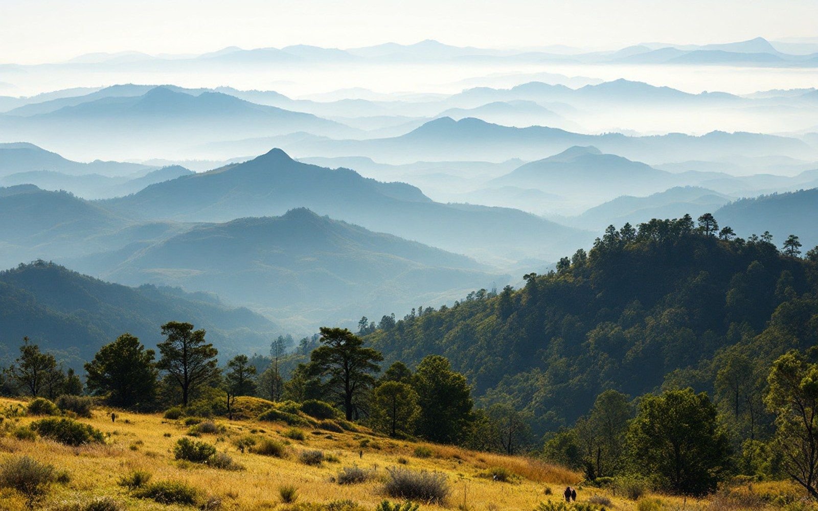
The tuff thins with distance from the caldera and with topography. Close to the Jemez, near 35.87° N, 106.51° W, the Tshirege Member reaches thicknesses of more than 200 metres. On the far eastern margins of its preserved extent it may be only a few metres, and there it is often unwelded throughout, leaving only soft crumbly outcrops that erode quickly and give little visual indication of what they are. The Otowi, laid down 360,000 years earlier, is generally buried beneath the Tshirege across the plateau but is visible at lower elevations in canyon walls, where rivers have cut down through the full sequence.
Canyon incision into the tuff is the other major landscape process worth reading carefully. The streams draining the Pajarito Plateau — the Rito de los Frijoles among them — cut vertically into the welded tuff because it fractures cleanly. The result is the box-canyon topography characteristic of the plateau: narrow, flat-floored, with vertical walls that expose the tuff stratigraphy in horizontal bands. A canyon wall here is a stratigraphic column you can read from bottom to top: older flows beneath, the two main members separated by a thin zone of reworked material, pumice lenses marking surge events within each member. The United States Geological Survey has mapped these units in detail, and the contacts between them are among the most legible in the region.
03Ash Beyond the Flows
The pyroclastic flows themselves did not travel infinitely. But the eruptions also sent ash into the atmosphere, and that ash fell across a far wider area — well beyond New Mexico's current borders. Airfall ash from the Valles eruptions has been identified in sediment cores and road cuts across the southern Great Plains and into the Gulf Coast, where it appears as a thin, distinctive layer in the stratigraphy. Identifying it relies on the chemical fingerprint of the glass: the specific ratio of major elements in Jemez rhyolite is unusual enough to serve as a marker horizon, and tephrochronology — the dating and correlation of volcanic ash layers — makes that distant ash useful as a time marker in sequences that would otherwise be hard to date.
The tan and pink plateaus between the Rio Grande and the Jemez front are not simply hills; they are remnants of a tuff sheet that once covered far more ground.
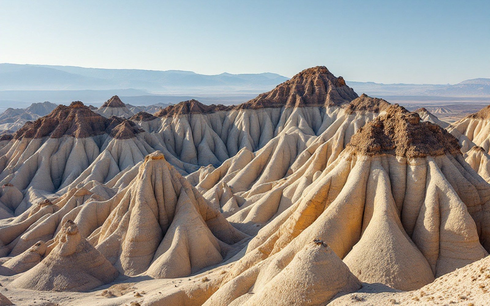
Closer to the source, the relationship between ash and landscape takes a different form at Kasha-Katuwe, near 35.66° N, 106.40° W, where pumice-rich deposits from the Bandelier eruptions underlie a hard caprock layer. Differential erosion of the soft lower material beneath harder blocks produces the tent-rock forms — tapering cones sometimes called hoodoos — that define the site. The geometry depends entirely on the contrast between hard and soft within the same tuff deposit, a contrast produced by local variations in welding degree and in what overlying material was available to protect the surface beneath it.
Desert varnish — the dark manganese- and iron-rich coating that forms slowly on exposed rock surfaces — appears on older basalt surfaces nearby but not on the tuff itself, because the tuff weathers too quickly for varnish to accumulate at the surface. That contrast helps distinguish tuff outcrops from basalt outcrops in the field at a glance, without needing to touch the rock. The basalt at Petroglyph National Monument along the West Mesa escarpment carries the varnish that made the rock surface usable for carving; the tuff to the north is too soft to hold varnish, though it can still be carved, and its images are of a different kind.
The Bandelier Tuff is not old by geological standards. At 1.25 million years for its youngest main unit, it is younger than most of the faults that shaped the Albuquerque Basin. Yet it has already been present in the landscape long enough to shape entire cultures, provide building material for thousands of rooms, and record in its thickness and distribution the exact position and volume of what came out of the ground in two of the largest eruptions the southwestern United States has seen in the Pleistocene.