01The crust under tension
The ground beneath Albuquerque is moving. Not dramatically — less than a millimetre to about a millimetre a year — but steadily, and in a way that has been reshaping the landscape for roughly 30 million years. The Rio Grande rift is a continental rift: a zone where the lithosphere is being pulled apart, thinning as it stretches, and breaking along faults wherever the rock can no longer accommodate the strain.
The mechanism is straightforward in outline. Heat rising from the mantle reduces the density of the overlying crust, causing it to dome slightly and then begin to thin as lateral tension pulls the surface in opposite directions. In New Mexico, the dominant pull is roughly east-west. Continuous GPS measurements operated through UNAVCO show the Colorado Plateau side moving west relative to the Great Plains side — slowly, measurably, verifiably. The cumulative result of that motion, sustained across geological time, is the system of elongated basins and uplifted ranges you see when you drive I-25 from Albuquerque to Socorro.
02How the crust breaks
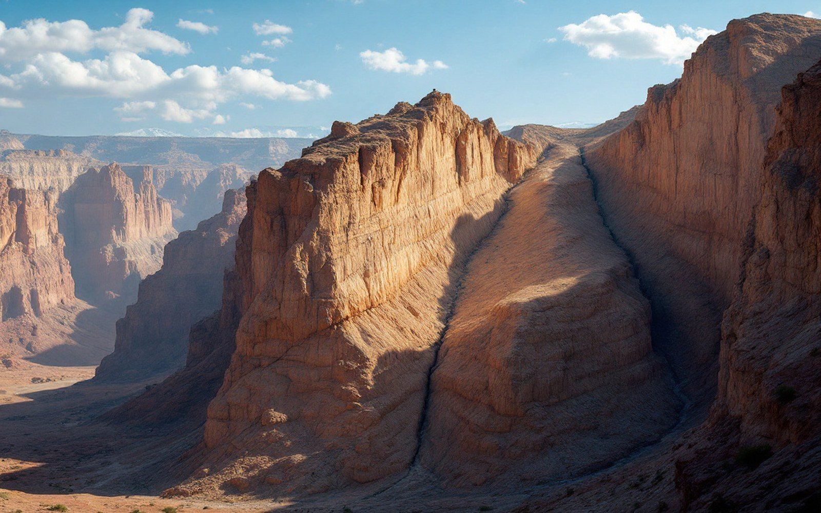
When rock under tension can no longer flex elastically, it fails along a fault — a fracture plane along which one block of crust moves relative to another. In a rift setting, the dominant structures are normal faults, where the block above the fault surface slides down relative to the block below. The geometry is asymmetric: one side drops to form a basin, the other tilts up to form a range. The result is a fault-block landscape, and the Rio Grande rift produces some of the clearest examples in North America.
The Sandia Mountains, east of Albuquerque (approximately 35.2°N, 106.4°W), are the most legible of these. Their west face is an escarpment — nearly vertical from the valley floor, rising more than a kilometre in a few horizontal kilometres. That face is the eroded expression of the Sandia fault, a major normal fault that has been dropping the Albuquerque Basin downward while the block bearing the Sandias tilts eastward, exposing granite at the surface that was once buried far below. The USGS has mapped the structure in detail, and the displacement across it is measured in kilometres, not metres.
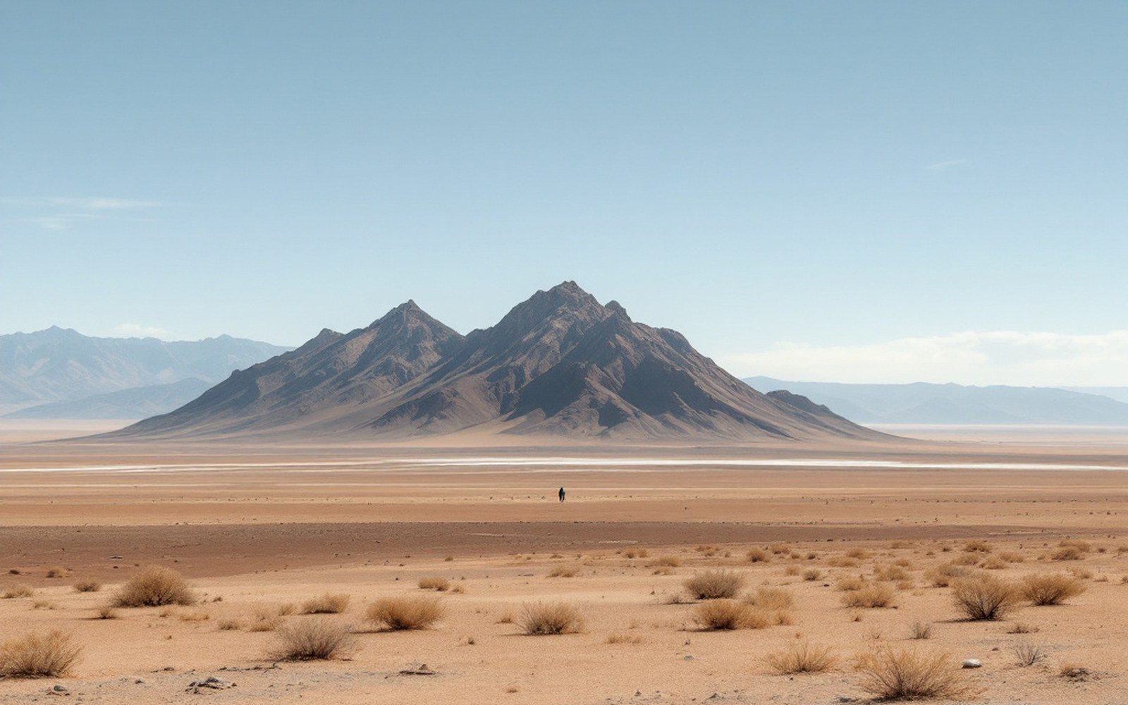
South along the same system, the Manzano Mountains repeat the pattern. Farther west, Ladron Peak stands in isolation out in the basin — an older block, differently faulted, that gives the basin's geometry a three-dimensional complexity easy to miss from the highway.
03What extension leaves behind
Extension does not produce empty space. As the basin floor drops, it catches everything eroding off the rising flanks: gravel, sand, and silt accumulate in sequences thousands of metres thick. This basin fill is itself evidence of extension — the thicker the sedimentary pile, the longer and more pronounced the subsidence. Boreholes drilled through the Albuquerque Basin have encountered fill to depths exceeding four kilometres before hitting the original basement rock.
The geometry is asymmetric: one side drops to form a basin, the other tilts up to form a range.
The volcanic record is equally diagnostic. Where extension thins the crust enough, magma reaches the surface without needing the buoyancy boost that a subduction setting provides. The line of small basaltic cones on Albuquerque's West Mesa — the Albuquerque volcanoes — sits directly above a fissure system aligned with the rift's extension direction. They are not random; they are the surface expression of deep fractures that opened because the crust was pulling apart. Beneath Socorro, roughly 120 kilometres to the south (34.1°N, 106.9°W), a large sheet of magma still sits within the crust, detected by its effect on seismic waves, its inflation of the ground surface, and the earthquake swarms it generates — active extension, happening now.
The Jemez Mountains and Valles Caldera, on the rift's western margin, represent the most dramatic volcanic consequence: enough magma reached shallow depths to feed two catastrophic caldera-forming eruptions, the products of which — ash, pumice, and welded tuff — blanket the surrounding landscape and underlie the tent-rock formations at Kasha-Katuwe. That volcanic chapter belongs to the same story: a rift opening, a crust thinning, heat and rock finding their way upward through the gaps.
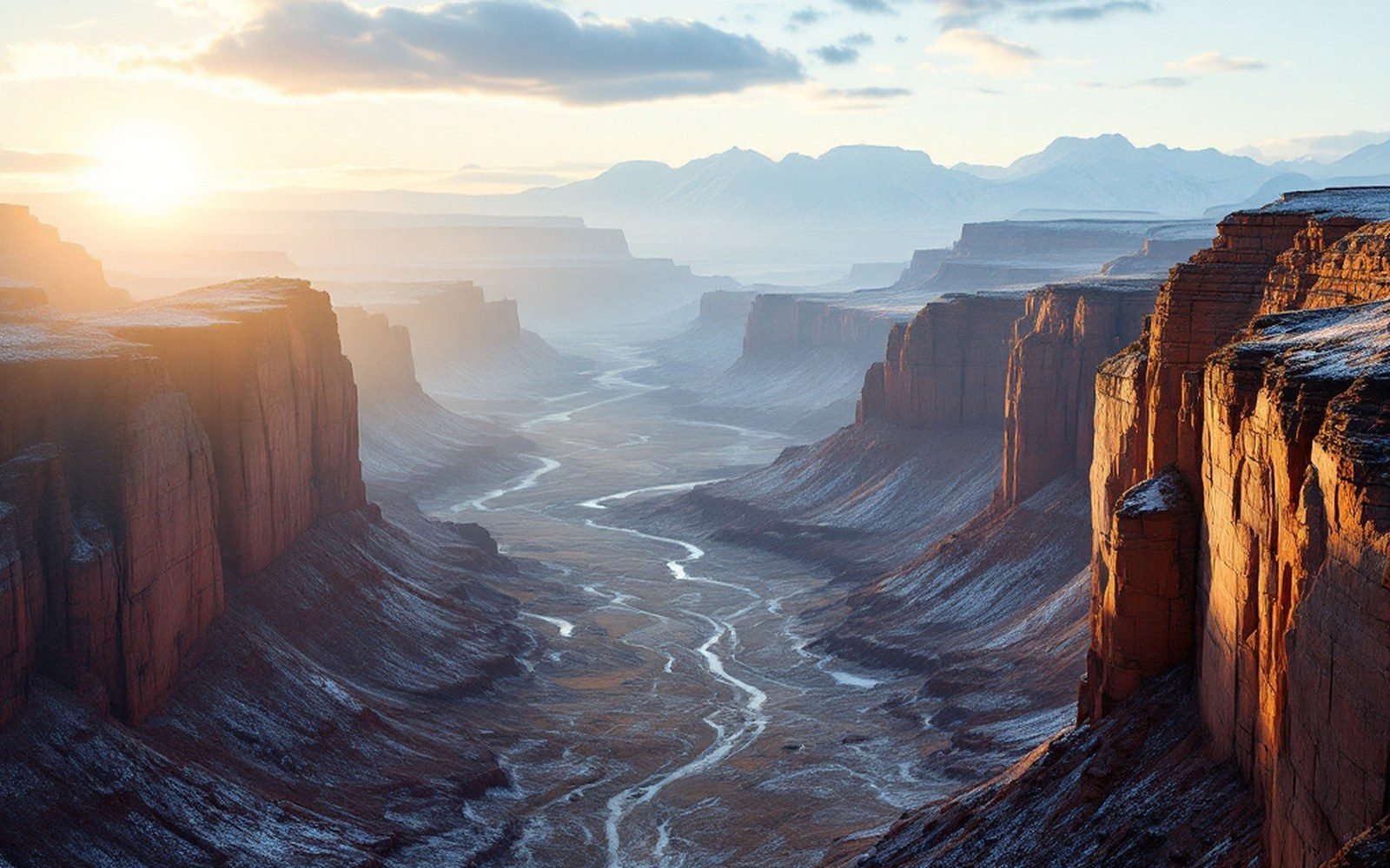
Extension is not finished. The faults are still active, the seismicity is continuous, and the GPS vectors keep accumulating their millimetres. The landscape visible from any mesa edge in central New Mexico is a snapshot of a process still in motion.