01A block tipped to the west
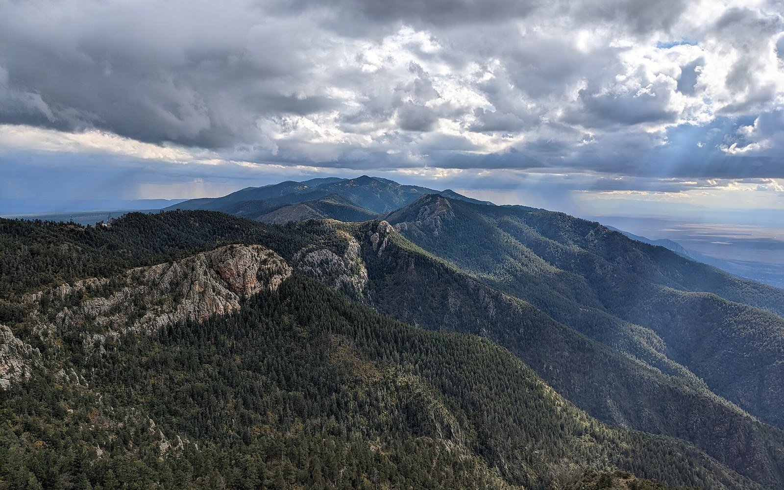
The Manzano Mountains rise immediately south of the Sandia Mountains along the eastern edge of the Albuquerque Basin, running roughly 65 kilometres from Tijeras Canyon southward toward Mountainair, New Mexico (34.62°N, 106.40°W). The two ranges share a structure: both are fault blocks, tilted slabs of crust that rose as the basin between them and the Rio Grande dropped away. The west face of the Manzanos is an escarpment — abrupt, fault-controlled, geologically young. The east flank slopes gradually, which is what a tilted block does on its back side.
The rocks exposed in the core are Precambrian granite and metamorphic basement, well over a billion years old, the same ancient material that cores the Sandias to the north. Above the basement, Pennsylvanian limestone caps the higher ridges — a reminder that a shallow tropical sea covered this ground some 300 million years ago, long before any rift existed. The unconformity between the two units, where billion-year-old granite meets 300-million-year-old limestone with nothing in between, is one of the more dramatic stratigraphic gaps in the region, representing hundreds of millions of years simply absent from the record.
The Sandia Mountains show the same architecture and the same rocks. The Manzanos make it easier to sit with because quieter approaches — from the Manzano Mountains State Park side or the Cibola National Forest road system — put the geometry plainly in front of you. The west-facing scarp catching afternoon light against the flat basin is exactly the signal that extension leaves in the landscape: one side drops, one side rises, and the break between them is a fault.
The range sits in an active seismic zone; the fault system bounding its western face is part of the same Rio Grande rift network responsible for continuous low-level earthquake activity across the region. The New Mexico Bureau of Geology and Mineral Resources has mapped the range in detail, and their published geologic map of the Albuquerque–Santa Fe area shows the fault trace running close along the mountain front — the visible line between what stayed up and what fell away.