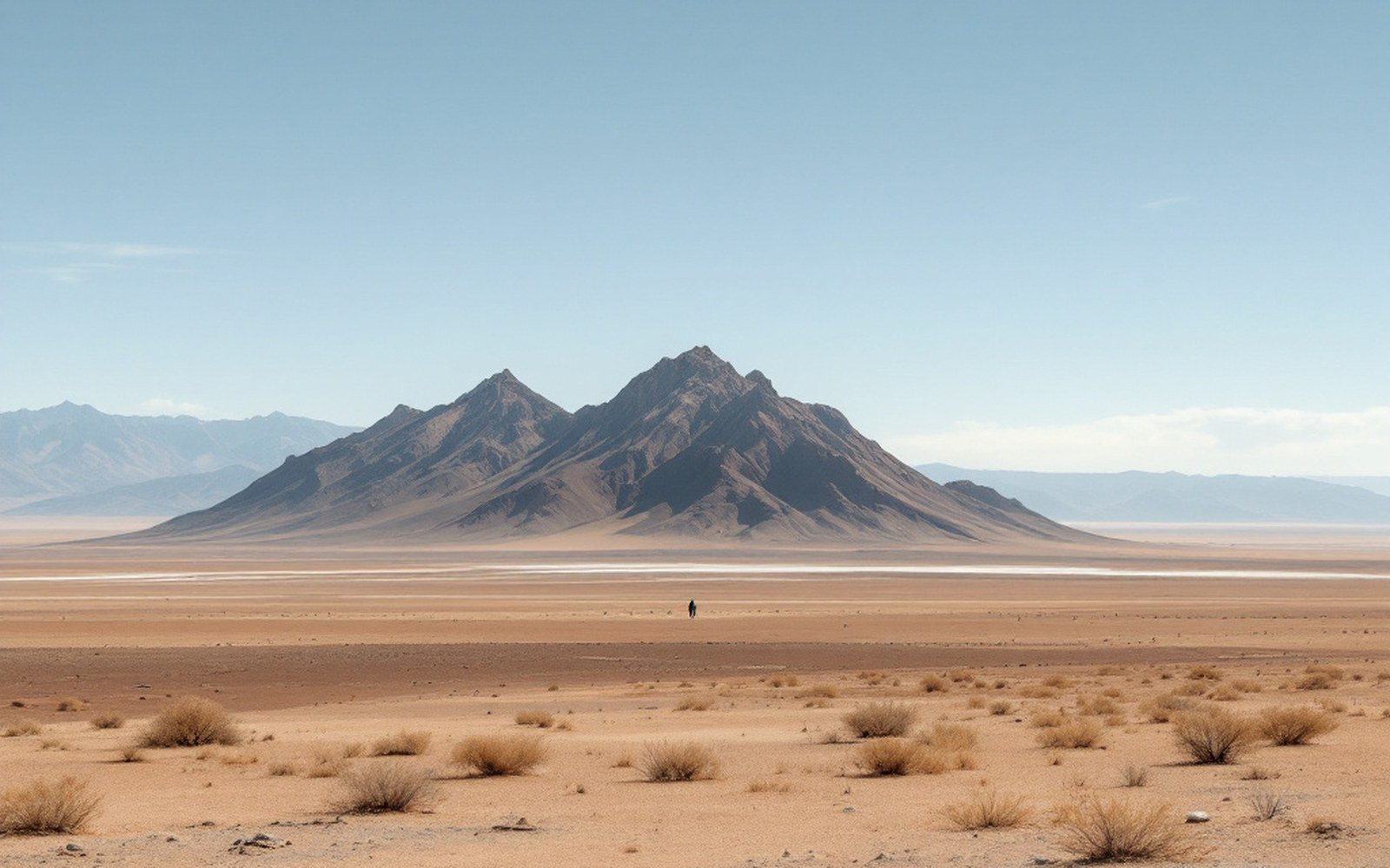
01An Island of Old Rock
Ladron Peak (34.266°N, 107.192°W) rises to about 9,176 feet above the west bank of the Rio Grande, roughly midway between Albuquerque and Socorro — close enough to the basin floor that its isolation is immediately legible. It is not a volcano, not a dune field, not an erosional remnant of something once continuous. It is a fault block: a mass of Precambrian basement rock, mostly granite and metamorphic gneiss more than 1.6 billion years old, that has been tilted and partially exhumed as the surrounding crust pulled apart during the opening of the Rio Grande rift.
The logic is the same as in the Sandia and Manzano ranges to the east — extension drives normal faults, the footwall rises and tilts, and the hanging wall drops to become basin floor — but Ladron sits in a different structural position. Where the Sandias define the eastern escarpment of the Albuquerque Basin, Ladron is an intrabasin high, an isolated culmination surrounded on most sides by basin fill. The faults that bound it are less continuously exposed than those along the Sandia front, and the geometry has taken more work to untangle. The New Mexico Bureau of Geology and Mineral Resources has mapped the range as part of broader rift-margin surveys, and the USGS Socorro quadrangle work established its basement character decades earlier.
What makes Ladron useful to a reader of landscapes is precisely its position. Standing well out into the basin rather than along its edge, it demonstrates that the rift is not a simple two-sided graben with clean opposing faults. The crust here broke unevenly, producing a more complicated pattern of rotated blocks and transfer zones. Ladron is one result: a block that came up high enough to shed its sedimentary cover — at least locally — and expose the Precambrian core beneath. Geological mapping of the Rio Grande rift has progressively refined how such intrabasin highs relate to the main border faults, and Ladron figures in that argument.
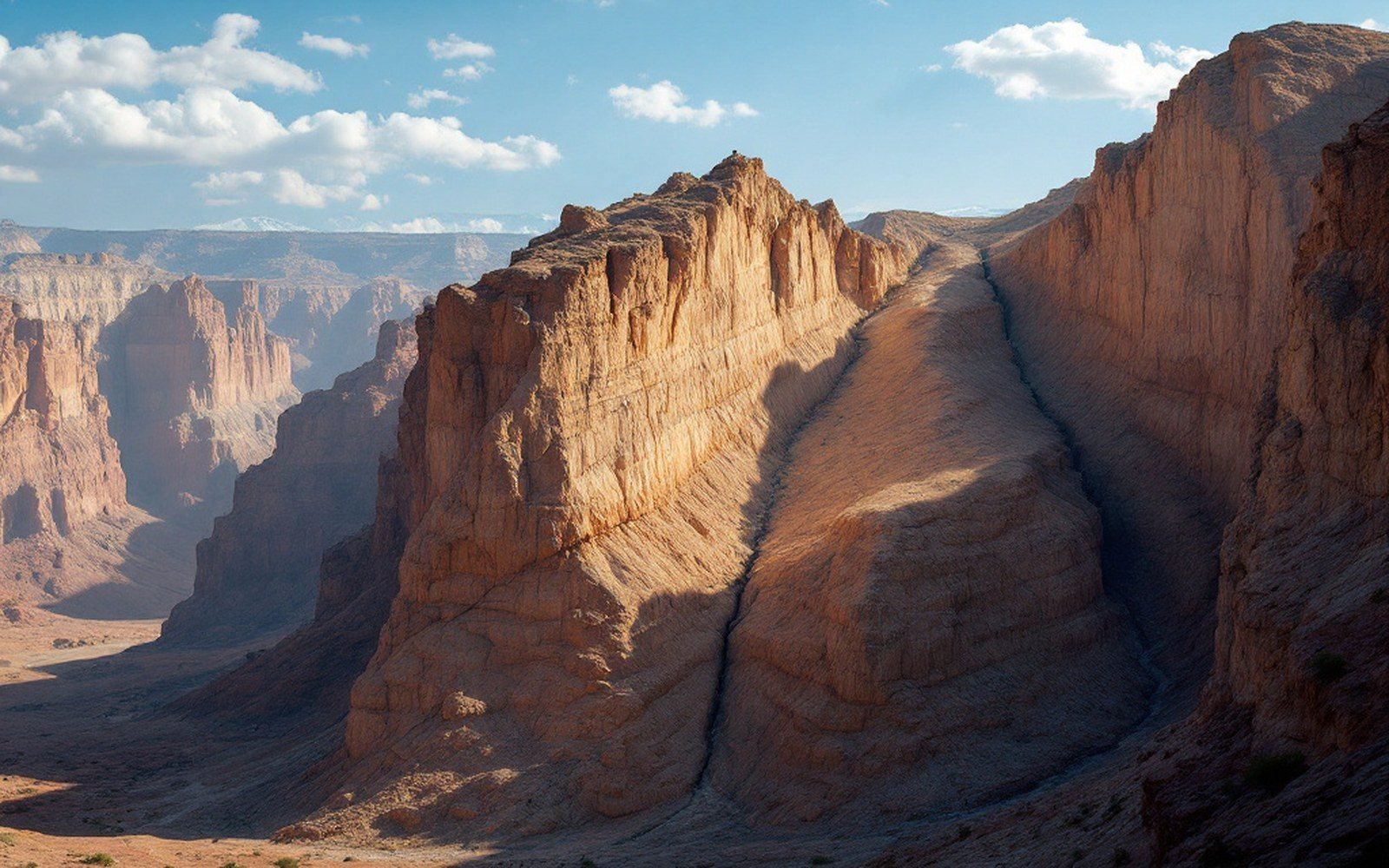
The peak's name — Spanish for "thief," attached to the range in colonial-period usage — has no geological content, but the country around it does. The bajadas draining from its flanks carry coarse granite-derived sediment into the basin, contributing to the heterogeneous basin fill that can reach several kilometres in thickness beneath the adjacent valley floor. The surface you walk across near Ladron is simultaneously the product of the uplift above and the subsidence beside it — two sides of the same fault, expressed in the same afternoon's light.