 01
01
The Rift [01]
Albuquerque Basin
The basin is one of a chain along a continental rift: the crust here is pulling apart, which puts it in the same category of landform as East Africa rather than an ordinary river valley.
Read the entryWhere the break shows
All twenty-one entries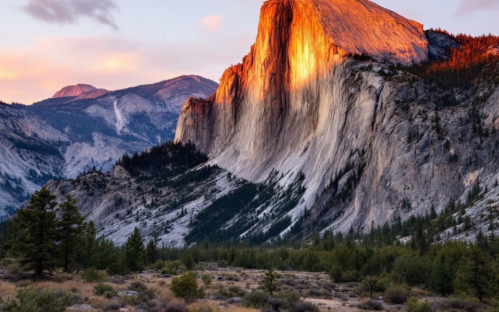
Sandia Mountains
A tilted fault block with a granite core and a limestone cap, whose west face is essentially the exposed side of the break.
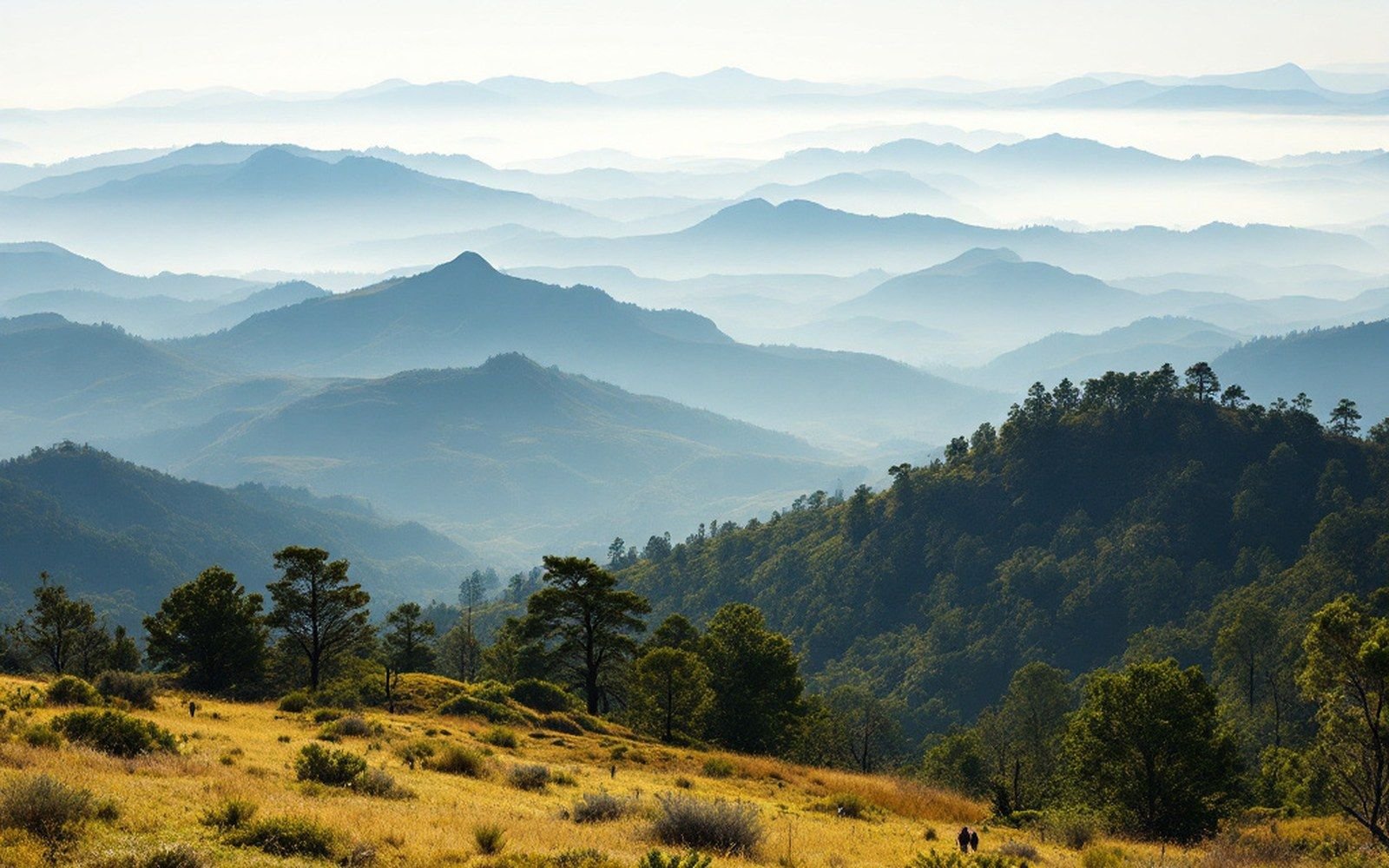
Jemez Mountains
A volcanic field sitting on the rift's western margin, built and rebuilt over more than ten million years.
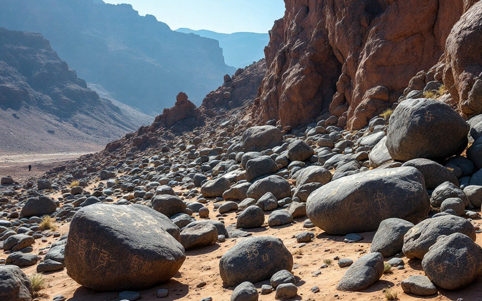
Petroglyph National Monument
Tens of thousands of images pecked into the desert varnish on basalt along the escarpment west of the river.
The register
Eight of the ten mapped landforms
-
01
Jemez Mountains
35.900 N 106.533 W
-
 03
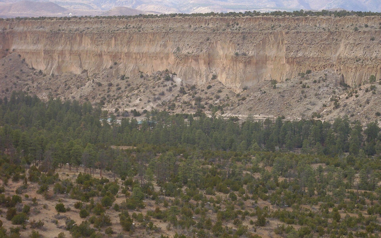
Bandelier Tuff
35.779 N 106.321 W
03
Bandelier Tuff
35.779 N 106.321 W
-
 04
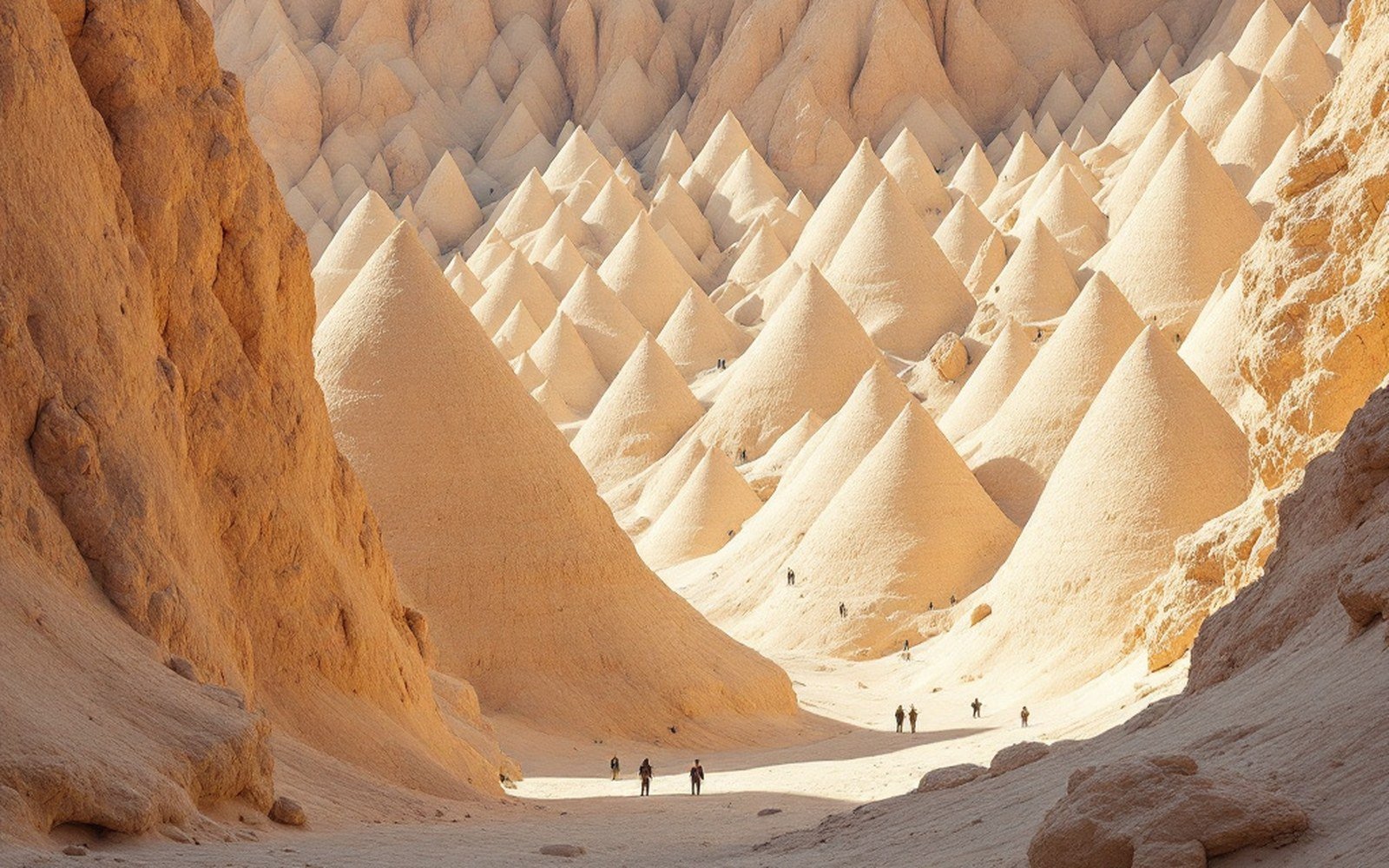
Kasha-Katuwe Tent Rocks
35.660 N 106.408 W
04
Kasha-Katuwe Tent Rocks
35.660 N 106.408 W
-
05
Sandia Mountains
35.209 N 106.447 W
-
 06
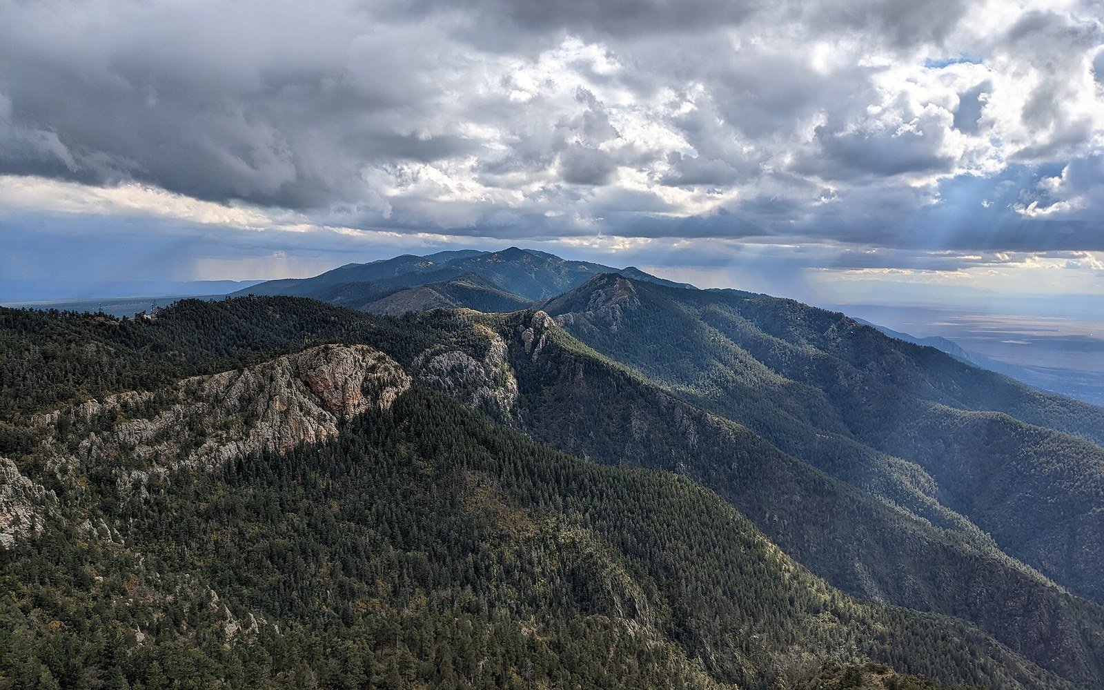
Manzano Range
34.790 N 106.400 W
06
Manzano Range
34.790 N 106.400 W
-
 07
Ladron Peak
34.435 N 107.085 W
07
Ladron Peak
34.435 N 107.085 W
-
08
Petroglyph National Monument
35.136 N 106.762 W
-
 10
Socorro magma body
34.051 N 106.888 W
10
Socorro magma body
34.051 N 106.888 W
Where the dating is contested
Two eruptions, several ages
Two eruptions from the Jemez field laid down the Bandelier Tuff. Published ages for both still differ by more than a hundred thousand years depending on the method.
Ten mapped points
Coordinates in fullEvery landform on the site has a position. Ten of them are plotted here; each name opens its entry.