01A caldera country built over ten million years
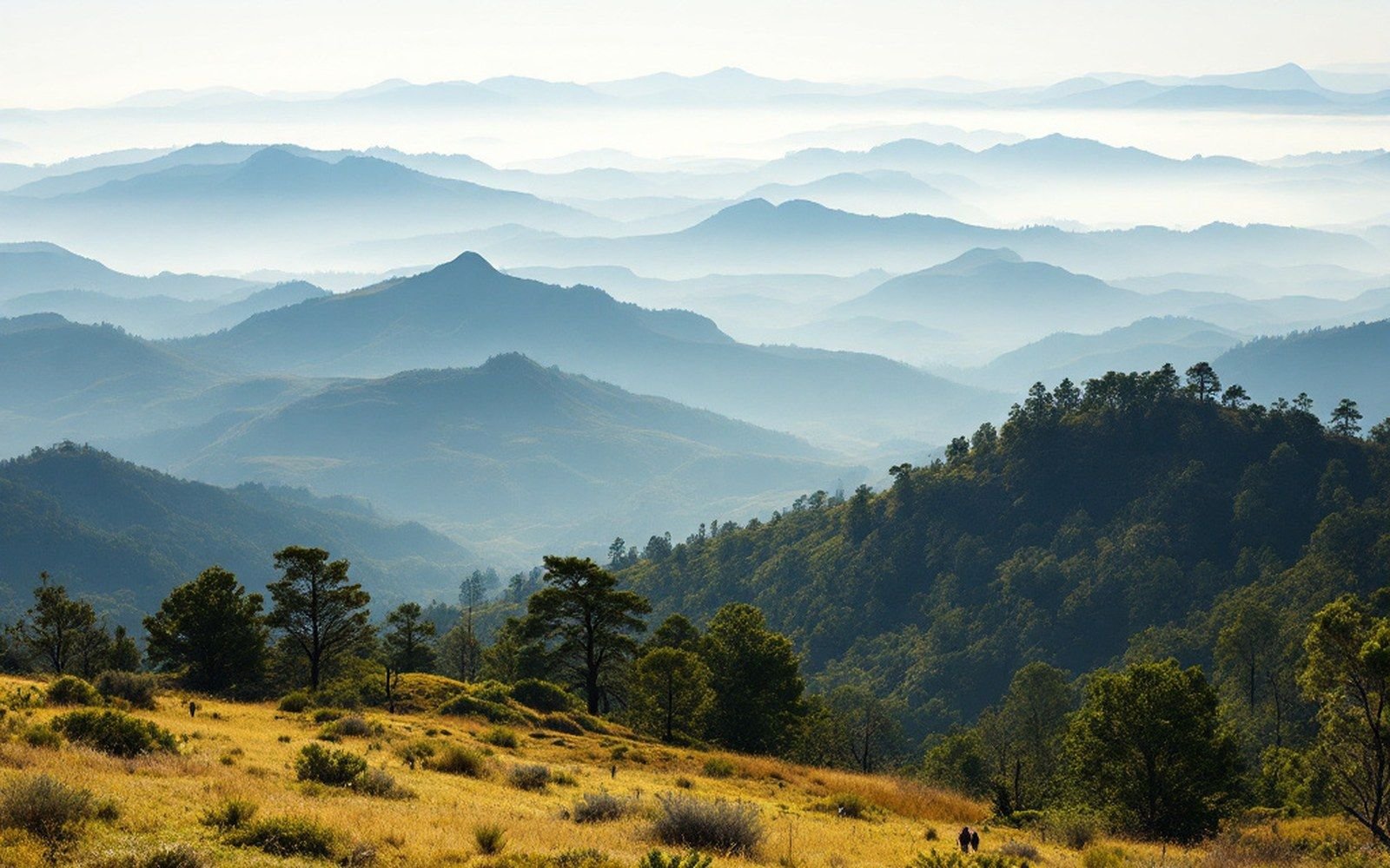
The Jemez Mountains occupy the western margin of the Rio Grande rift at roughly 35.8°N, 106.5°W, rising to just over 3,400 metres at Redondo Peak. They are not an ordinary mountain range: no fault block was heaved up here, no ancient granite pushed through. What you see is the accumulated product of volcanic construction — lavas, domes, ash sheets and ignimbrites stacked over more than ten million years — punctuated by collapses so violent they rewrote the local topography in a matter of days.
The field sits where the rift's extensional faulting provided pathways for magma ascending through the crust. Extension thins the lithosphere, reducing pressure on the mantle and allowing partial melting; the Jemez is one expression of that process, but it is also something older and more complicated. Geochemical and isotopic studies show that the source region has evolved through multiple episodes, with the oldest Jemez lavas erupting around eleven million years ago as the rift was deepening. By geological convention the entire volcanic province is called the Jemez Volcanic Field, and it stretches well beyond the mountains visible from Albuquerque — from the Cerros del Rio basalt field to the south and east, through the present-day mountains, to outlying dacite domes and rhyolite flows to the northwest.
02Construction: from basalt to supervolcano
The earliest phase of the field produced basalts and andesites, the kind of composition typical of a rift setting where mantle-derived melts reach the surface quickly, before they have time to sit in the crust and evolve chemically. Those early products underlie much of the present landscape but are rarely the first thing you see, buried as they are beneath younger material. Through the Pliocene, silica-rich magmas began to dominate. Domes and flows of rhyolite accumulated, and the volcanic pile grew thicker and more chemically evolved — a signal that large reservoirs were forming in the mid-crust, allowing magma to fractionate and accumulate volatiles.
The field's most dramatic chapter opened roughly 1.6 million years ago when the Toledo eruption expelled an enormous volume of magma and the roof of the magma chamber collapsed, forming a caldera. A second and even larger eruption followed at approximately 1.25 million years ago: the Bandelier Tuff, the product of the Valles eruption, blanketed the region in welded and non-welded ignimbrite — pyroclastic flows and ashfalls that buried the earlier landscape under tens to hundreds of metres of material. Together these two events formed the Valles Caldera, a roughly circular depression about 22 kilometres across, now the centerpiece of Valles Caldera National Preserve at approximately 35.87°N, 106.52°W.
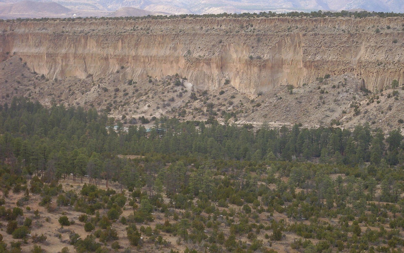
The Bandelier Tuff is the rock that most clearly connects the mountains to the wider landscape. Carved by the Rito de los Frijoles and other streams, it forms the canyon walls at Bandelier National Monument, where the soft tuff was excavated by ancestral Pueblo communities into cliff dwellings and storage chambers. The same material erodes into the cone-shaped hoodoos — tapering columns of soft pumice-rich rock protected by harder caprock — visible at Kasha-Katuwe Tent Rocks National Monument to the southeast. What looks like a natural sculpture garden is, in physical terms, a map of differential resistance: pumice and caprock erode at different rates, and the forms that result are a clock measuring how long erosion has been running since the tuff was deposited.
03Resurgence and the present caldera
A caldera is not simply an absence. After collapse, the magmatic system often remains active, and the crust above can be pushed upward by renewed intrusion. At Valles, a resurgent dome — Redondo Peak — rose inside the collapsed structure, lifting the caldera floor kilometres above its lowest post-collapse level. Subsequent rhyolite domes erupted along the caldera ring faults well into the Pleistocene, the youngest dated to around 40,000–50,000 years ago, making the Valles system geologically recent by any measure. Hydrothermal activity continues in the caldera today: hot springs, fumaroles, and a large geothermal reservoir accessed by research and commercial drilling in the twentieth century confirm that the system retains heat and fluid at depth.
The Bandelier Tuff is the rock that most clearly connects the mountains to the wider landscape.
The United States Geological Survey maintains the Valles Caldera as a monitored volcanic system. Ground deformation, seismicity and gas emissions are tracked in part through instruments operated cooperatively with the Incorporated Research Institutions for Seismology and with geodetic networks — continuous GPS stations of the kind operated by UNAVCO — that can detect millimetre-scale changes in the elevation and position of the caldera floor. So far, no evidence suggests the system is approaching a new eruptive phase, but monitoring continues because the consequence of being wrong is not recoverable.
04Basalt at the margins and the petroglyph record
Not all of the Jemez field's output was explosive rhyolite. Basalt erupted along fissures on the field's margins, producing the Cerros del Rio flows north of the basin around 2.5 to 3 million years ago, and the West Mesa basalts closer to Albuquerque. The West Mesa lavas flowed eastward from vents along a north-trending fissure, covering the basin surface and eventually being dissected by the Rio Grande's downcutting. Their upper surface, exposed to thousands of years of desert weathering, developed a skin of desert varnish — a dark manganese- and iron-rich coating deposited by microorganisms and inorganic processes — that Pueblo people used as a medium. At Petroglyph National Monument (35.13°N, 106.72°W), tens of thousands of images were pecked through the varnish into the basalt beneath, a record that spans multiple centuries and involves multiple Pueblo communities. The site is managed in consultation with those communities; the images belong to living traditions, and the basalt is their substrate, not their subject.
The Jemez Mountains sit above this entire record — both the violent caldera story and the quieter basalt margins — and they are still being shaped by erosion of all that deposited material. The New Mexico Bureau of Geology and Mineral Resources has mapped the volcanic field in detail, and its published maps show the extraordinary complexity of a system that has erupted in multiple styles across a span of time longer than the hominid fossil record.
05Time still running
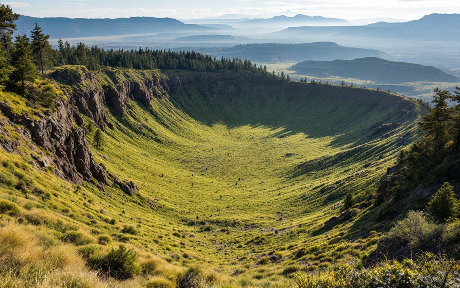
Standing at the caldera rim today, the landscape reads as finished — a forested depression, elk grazing the meadows, the resurgent dome a broad hill on the skyline. The geology says otherwise. The magma reservoir imaged beneath the caldera by seismic studies still exists; the hydrothermal system is active; the rift is still extending, albeit slowly. UNAVCO geodetic data show the broader rift widening at roughly a millimetre or two per year, and while the Jemez field has not erupted in tens of thousands of years, that gap is short against its eleven-million-year operating history. The mountains are not a record of something that ended. They are a pause in something ongoing — a volcanic field that has rebuilt itself before and retains the architecture to do so again.