01Dark rock, darker marks — and what made them possible
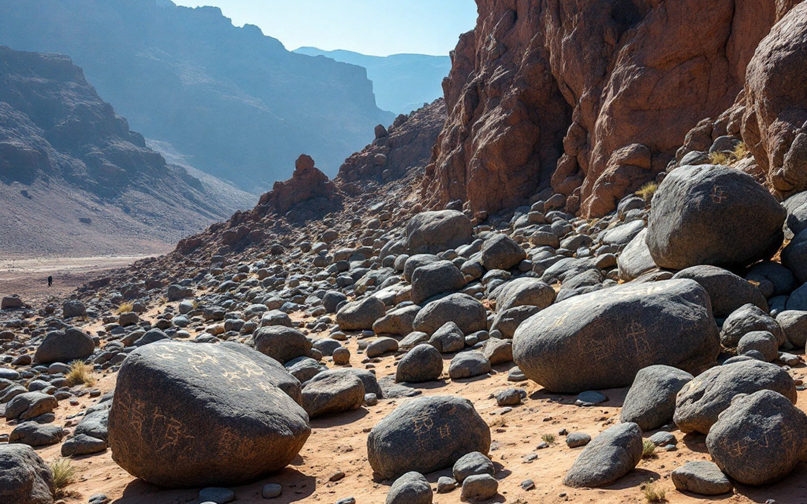
The West Mesa sits at roughly 35.15° N, 106.72° W, a broad lava platform west of Albuquerque whose eastern edge breaks away in a low but abrupt escarpment. That edge — and the boulder fields it has shed — holds one of the densest concentrations of rock art in North America: somewhere above 24,000 images pecked into the black surface of basalt, distributed across nearly twenty miles of volcanic terrain. The monument that protects this record was established in 1990 and is administered jointly by the National Park Service and the City of Albuquerque. But the geology came first, and without understanding what that geology produced, neither the surface the images appear on nor the reason images could be made here at all makes much sense.
The lava flows that form the West Mesa are part of the broader Albuquerque volcanic field, erupted roughly 150,000 to 190,000 years ago from a series of fissures and small shield vents aligned north-south along the Rio Grande rift. These are basalt flows — iron- and magnesium-rich lava that cooled relatively quickly as it spread westward from the vent zone. The resulting surface is hard, dark, and dense, qualities that made it both a physical canvas and, in time, a geological trap for the pigment the desert itself produced.
02Desert varnish: the medium the landscape provides
Desert varnish is the material the images are actually cut into, and it deserves its own explanation because it is easy to mistake for a property of the rock rather than an accumulation on top of it. The varnish — a thin, dark coating of manganese oxides, iron oxides, and clay minerals — builds up over thousands of years on exposed rock surfaces in arid environments. Airborne dust settles on the rock; microbial communities, partly responsible for concentrating manganese, help bind and darken it; time and repeated wetting-and-drying cycles consolidate the layer. On the West Mesa basalt, the combination of a dark parent rock and a still-darker varnish means the outer face of a boulder can be very nearly black.
When a maker pecked through that surface — using a harder stone as a hammerstone and a pointed cobble as a chisel — the lighter, unvarnished rock interior was exposed. The contrast is stark and, under the right light, almost luminous: pale grey against near-black. Every image works by that mechanism. The desert varnish is not decoration; it is the entire optical system on which the images depend.
Varnish accumulates slowly, and new varnish begins forming over exposed surfaces once the pecking stops. The rate varies with microclimate, aspect, and chemistry, so varnish re-accumulation cannot give precise ages for individual images — but it tells researchers that imagery on heavily re-varnished surfaces is genuinely old, while imagery on fresh, pale surfaces is recent. The range at Petroglyph National Monument spans roughly three thousand years, though the great majority of recorded images are attributed to ancestral Pueblo peoples working primarily between about A.D. 1300 and A.D. 1680. A smaller number are attributed to earlier cultures, and a documented set of Spanish colonial images and historic-era images occupy the younger end of the record.
03The escarpment and the boulders
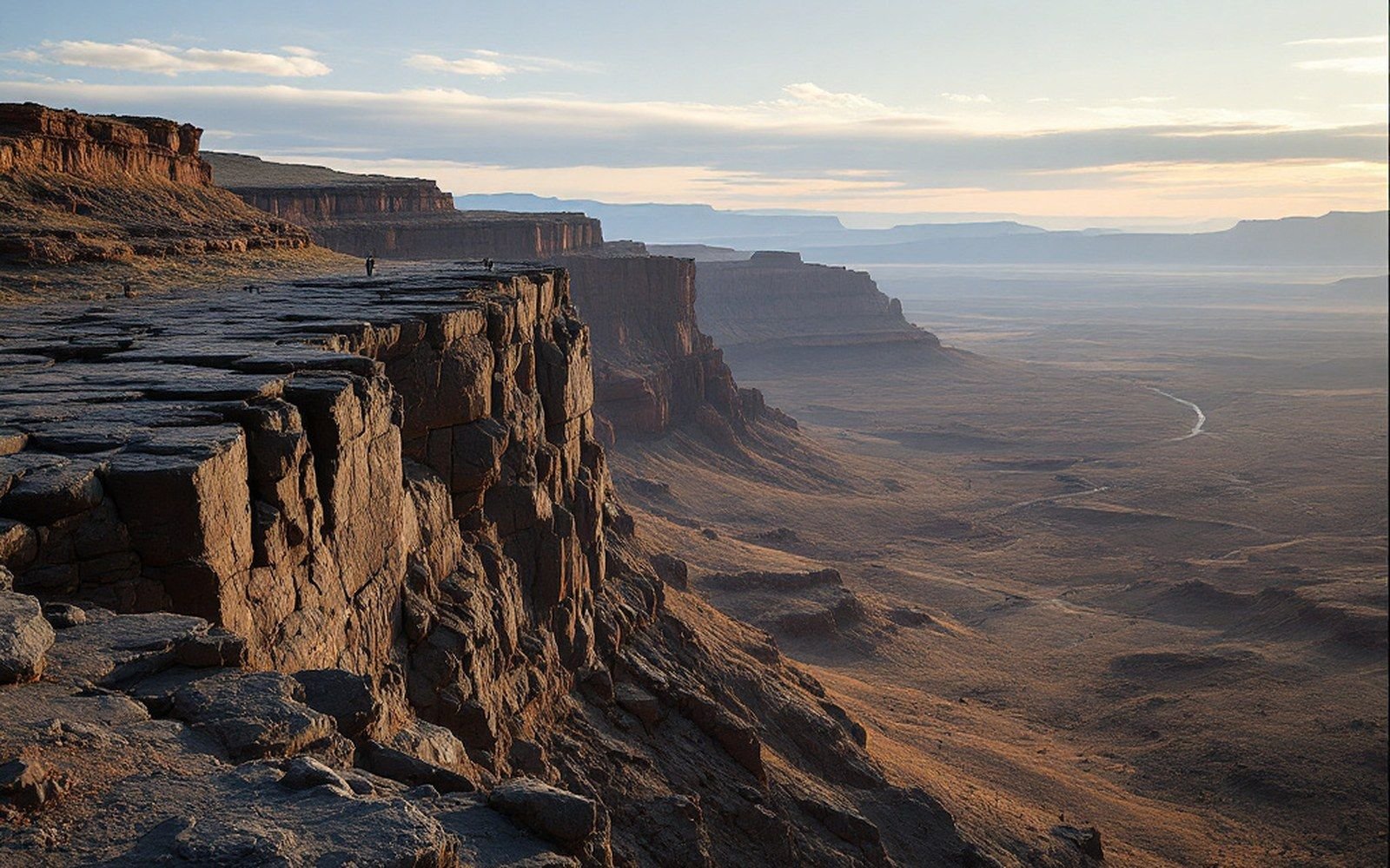
The West Mesa escarpment is the eroded eastern edge of the lava flows, and it explains why the boulders are where they are. As the Rio Grande cut downward into the basin fill over tens of thousands of years, and as freeze-thaw and gravity worked on the flow margins, the edge of the mesa broke away. Columns and slabs of basalt — already jointed from cooling — toppled and rolled to the base. Some boulders remain close-stacked against the scarp face; others have migrated further into the low terrain at the mesa's foot. Either way, they arrived with all surfaces already coated in varnish built up during the long period of exposure on the mesa top, giving any maker who worked them a pre-prepared dark canvas.
The escarpment runs roughly north-south for the monument's active extent, and the boulders are most densely concentrated in the four main units: Boca Negra Canyon, Rinconada Canyon, Piedras Marcadas Canyon, and the Volcanoes unit to the north, where the actual vents — five cinder cones, informally called the Albuquerque Volcanoes — rise from the mesa surface. The cones are small, probably never very explosive, and now heavily eroded; their presence marks the fissure system that fed the underlying flows.
Varnish accumulates slowly, and new varnish begins forming over exposed surfaces once the pecking stops.
Basalt from these eruptions has been dated using paleomagnetic methods and potassium-argon techniques. The USGS and the New Mexico Bureau of Geology and Mineral Resources have both contributed mapping and geochronological work to establish the flow chronology. The flows sit atop basin sediments — the sand, gravel, and clay that have been accumulating in the Albuquerque Basin since the rift began opening roughly 25 to 30 million years ago — and they are thin relative to the sediment pile beneath them. That sediment context matters: the basin is still subsiding along its bounding faults, the Sandia Mountains to the east are still rising, and the ground the monument occupies is part of a tectonically active landscape, not a finished one.
04The communities who made the record
The images are not artifacts in a conventional archaeological sense: they are fixed in place, tied to the rock, and they belong — not metaphorically but as a matter of living cultural and legal relationship — to the Pueblo peoples whose ancestors made the majority of them. Several Pueblo nations, including Pueblo of Acoma, Isleta Pueblo, Laguna Pueblo, Santa Ana Pueblo, Zia Pueblo, and others, hold formal relationships with the monument and participate in its management. The National Park Service's published management framework reflects that relationship.
This is why precision of location matters differently here than it does for most geological features. The monument boundary is publicly mapped; the individual image locations within it are not publicly indexed in detail, and that is intentional. Describing the geological system that made the images possible — the basalt, the varnish, the escarpment — is a different act from cataloguing what the images show or speculating about their significance. The geology is general knowledge; the imagery belongs to its makers' descendants.
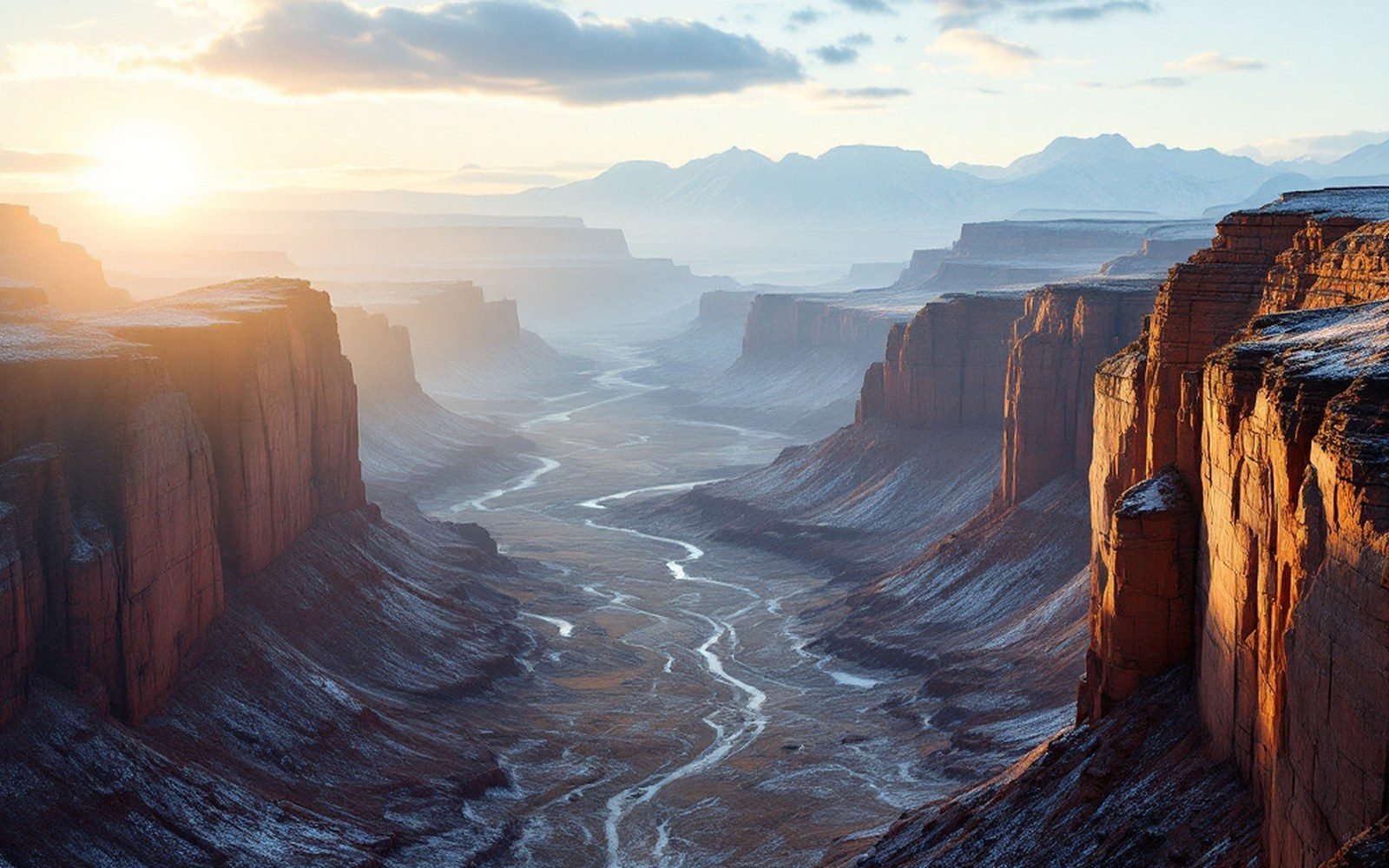
What the geology provides, clearly and without ambiguity, is the material record of why this particular stretch of ground became a place of sustained, multigenerational marking. A dark, stable, slow-to-erode rock surface — one that built up a high-contrast outer skin over tens of thousands of years, then shed boulders at its eroding edge into accessible terrain — created conditions that are rare, durable, and visually powerful. The rock did not cause the images, but it made them legible across millennia, and it will carry them forward as long as the desert varnish holds.